McIntyre Bluff
| McIntyre Bluff | |
|---|---|
 View of McIntyre Bluff from Highway 97 | |
| Highest point | |
| Elevation | 673 m (2,208 ft) |
| Prominence | 260 m (850 ft) |
| Coordinates | 49°15′17″N 119°32′06″W / 49.25472°N 119.53500°WCoordinates: 49°15′17″N 119°32′06″W / 49.25472°N 119.53500°W [1] |
| Geography | |
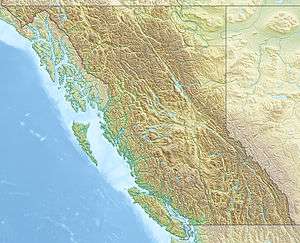 McIntyre Bluff Location in British Columbia, Canada. | |
| Location | Okanagan, British Columbia, Canada |
| Topo map | NTS 82E/5 |
McIntyre Bluff is a large ridge of rock, made of gneiss,[2] located south of Vaseux Lake between Okanagan Falls and Oliver in British Columbia, Canada. The bluff is located beside Highway 97 and is one of the most well known landmarks in the Okanagan Valley. This landmark is named after Peter McIntyre, one of the Overlanders of 1862 who had also been a guard on the Pony Express in the American West.[1]
First Nations in the area tell a story of a battle centuries ago on top of McIntyre Bluff. An enemy war party from the south (now Washington State) was lured to the top and driven over the cliffs.
References
- 1 2 "McIntyre Bluff". BC Geographical Names.
- ↑ "Geology of the Southern Okanagan Valley Shear Zone" (PDF). Canadian Tectonics Group - Fieldtrip October 2010. 2010. p. 8. Retrieved 7 March 2014.
This article is issued from Wikipedia - version of the 12/25/2015. The text is available under the Creative Commons Attribution/Share Alike but additional terms may apply for the media files.