Mbalmayo
| Mbalmayo | |
|---|---|
|
Mbalmayo cathedral | |
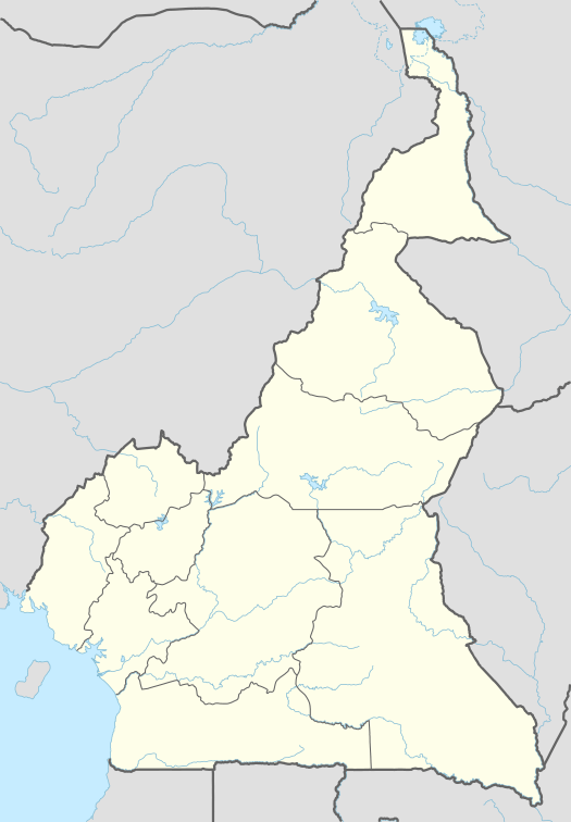 Mbalmayo Location in Cameroon | |
| Coordinates: 3°31′N 11°30′E / 3.517°N 11.500°ECoordinates: 3°31′N 11°30′E / 3.517°N 11.500°E | |
| Country |
|
| Province | Centre Province |
| Elevation | 335 m (1,099 ft) |
| Population (2012) | |
| • Total | 60,091 |

Mbalmayo is a city in Cameroon's Centre Province. The town had 60,091 inhabitants in 2012.[1] It is the capital of the Nyong and So'o division. It is located at the banks of the Nyong river between Ebolowa and Yaoundé. It is an agricultural centre and has an important function as a centre of education. Site of the Mbalmayo National Forestry School.[2]
History
Mbalmayo had existed since 1910 during the German rule of the then Kamerun. Mbalmayo was founded by Mbala Meyo, one of the first ruler of the town. As was the custom of chiefs who rule large communities prior to colonialism, villages and town were named after the chief. This trend of events could be seen in the other neighboring town and villages such as Akonolinga, Nanga Ebogo and Abong Bang, just to name a few.
The Germans had administrative control over the town and made use of the Nyong river for transportation of timber which was a major source of income. Due to its economic potentials, the Germans before the First World War had intended to establish an administrative headquarters in Mbalmayo. Also partly because they found a rock in the Nyong river with a protruded rounded waitwhich was attractive especially for touristic that separates the wa however, after 1919, immediately after the war, when Germany had to cede power to the Allied Forcesthe project was never realized. The Town was handed to the French as French protectorate by the United Nations
Economy
Mbalmayo is an industrial town that is about 41 km from Yaoundé the Capital of Cameroon. Mbalmayo is located in the Central Province of Cameroon. It is situated along the Nyong River, south of Yaoundé. Since it is deeply entrenched in the dens equatorial forest zone that stretched to the South, its natural physical environmental features makes it strategically economical located. The main economic activities are forestry, and agriculture. There is a plywood factory powered by electricity from the Edea Hydroelectric Power Station.
It is also a commercial centre due to its position at the junction of three transportation routes: it lies on the main road south from Yaoundé; it is the terminus of the Camrail railway from Douala; and serves as a river port on the Nyong River, which is seasonally navigable for 249 kilometres (155 mi) from Mbalmayo east to Abong Mbang.[3] In other to improve and to increase its economic activities, the Government of Cameroon in 1989, through partnernship with the African Development Bank was able to construct a 101 km road that links Mbalmayo with Ebolowa, the capital of the South Province.[4] Amongst its economic activities, Timber exploration is a major source of revenue for Mbalmayo and Cameroon in general.There is the Mbalmayo's forest reserve which is one Cameroon's oldest forest reserves. Other cash crops include kennel oil, coffee and coca coca etc.
Politics
Cameroon is divided administratively into ten provinces now referred to as regions. Administration of these provinces are based on the political party in power. Mbalmayo is politically and administratively managed under the Central province/region. It is a sub-division of the Nyong-et-So'o Division of the Central Province.[5] The administration of the division and the subdivisions is directly under the Ministry of Territorial Administration and Decentralization.Mbalmayo is the administrative headquarters of the Nyong et So'o division. Since independence, this division has been headed by two political parties- The CNU and the CPDM. However, ironically, these two parties were just the same party that underwent a name change. In 1985, CNU was changed to CPDM-Cameroon People Democratic Movement un the leadership of Paul Biya. Until date, that is since 1968, there have been 6 Mayors elected in Mbalmayo. The longest Serving Mayor was AMOUGOU MBIDA Samuel, who served as Mayor of the city Council for 17 year. He was also the Mayor in place during the political transition from Amadu Ahijo to Paul Biyea and from CNU to CPDM.[6]
Mayors of the Mbalmayo Municipal Council
1 Abbé MBARGA Maurice 1958 CNU 8 Months
2 MBALLA FOE Martin 1959–1970 CNU 11 years
3 AMOUGOU MBIDA Samuel 1970–1987 CNU-CPDM 17 years
4 ABAH Stanisla 1987–1996 CPDM 9 years
5 NNOMEDOUE MENDOUGA Thomas 1996–2002 CPDM 6 Years
6 ZANG MBA OBELE Dieudonné 2002 CPDM current
Transport
A good transport network is very critical for any real development to take place. Generally, most towns and villages in Cameroon are not easily accessible due to the poor transport network. Mbalmayo is, however, accessible by asphalt roads from Yaounde. By train it is the southern terminus of the railroad from Douala. The river Nyong is also commonly used as a means of transport by locals and fishermen.The river runs for 250 km from Mbalmayo to the east of Abongmbang.[7] Understanding the role of transport in economic development, the Government of Cameroon in 1987, secured a loan worth UA 47.15 million from the African Development Bank to finance the construction of a dual carriage way between Mbalmayo and Ebolowa in the south. The project was completed in 1991 by the Firm Group COGEFAR Cameroon RAZEL F&es and works were supervised by BCEOM Cameroon/LABOGENIE. The project covered over 100 km of paved road.[8]
The project has contributed significantly to opening up of the southern province and made possible the development of agriculture and forest production in the project area. Since timber harvesting is the biggest contributor to the economy of the southern province, transportation of both humans and goods have been made easy. "Thanks to the improvement of travelling conditions and the lowering of transport costs, women play a more important role in production and in the associative life of the region. Trade, particularly in food commodities between Cameroon and her neighbours has intensified since the commissioning of the road. Nevertheless, the road’s contribution to increased regional integration will be significant only when the entire Yaounde-Libreville route, which has several sections in poor condition, has been developed."[9]
Maps
Statistics
- Elevation = 335m
- Population = 292,000
References
- ↑ "World Gazetteer". Archived from the original on January 11, 2013.
- ↑ Lukong Pius Nyuylime, "Cameroon: New Training Programme for Mbalmayo Forestry School," allAfrica.com, November 7, 2006. Accessed: January 16, 2013.
- ↑ http://www.britannica.com/EBchecked/topic/371323/Mbalmayo
- ↑ Mapping Mbalmayo Forest
- ↑ People Managing Forests: The Links Between Human Well-Being and Sustainability
- ↑ People Managing Forests: The Links Between Human Well-Being and Sustainability
- ↑ http://www.britannica.com/EBchecked/topic/371323/Mbalmayo
- ↑ CAMEROON MBALMAYO-EBOLOWA ROAD PROJECT Project Performance Evaluation Report (PPER)
- ↑ African Development Bank Group 1997
- Catholic-hierarchy.org
- Owana Ndongo Pierre et al., (2008).Mapping Mbalmayo Forest.
- Robert John Raison, Alan Gordon Brown, David W. Flinn(2001)Criteria and Indicators for Sustainable Forest Management