Mayor General FAP Armando Revoredo Iglesias Airport
| Mayor General FAP Armando Revoredo Iglesias Airport | |||||||||||
|---|---|---|---|---|---|---|---|---|---|---|---|
| IATA: CJA – ICAO: SPJR | |||||||||||
| Summary | |||||||||||
| Airport type | Public | ||||||||||
| Operator | ADP | ||||||||||
| Serves | Cajamarca, Peru | ||||||||||
| Elevation AMSL | 8,781 ft / 2,676 m | ||||||||||
| Coordinates | 7°08′25″S 78°29′20″W / 7.14028°S 78.48889°W | ||||||||||
| Map | |||||||||||
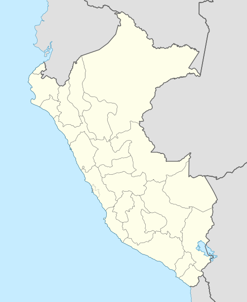
 CJA Location of the airport in Peru | |||||||||||
| Runways | |||||||||||
| |||||||||||
Mayor General FAP Armando Revoredo Iglesias Airport (IATA: CJA, ICAO: SPJR), known in Spanish as Aeropuerto Mayor General FAP Armando Revoredo Iglesias (with Mayor General often abbreviated as My. Gral.), is an airport serving Cajamarca, capital of the Cajamarca Region in Peru. It is run by CORPAC S.A. (Corporación Peruana de Aeropuertos y Aviación Comercial S.A.), a government organization that oversees management of Peruvian airports.
The runway has high terrain to the north.
The Cajamarca non-directional beacon (Ident: MAR) is located on the field.[4]
Airlines and destinations
| Airlines | Destinations |
|---|---|
| LAN Perú | Lima |
| LC Perú | Lima |
See also
References
- ↑ Airport information for SPJR at World Aero Data. Data current as of October 2006.
- ↑ Airport information for CJA at Great Circle Mapper.
- ↑ google Maps - Cajamarca
- ↑ MAR NDB
External links
- Accident history for CJA at Aviation Safety Network
- OpenSteetMap - Cajamarca
- OurAirports - Cajamarca
- SkyVector Aeronautical Charts
This article is issued from Wikipedia - version of the 9/28/2016. The text is available under the Creative Commons Attribution/Share Alike but additional terms may apply for the media files.