Massachusetts Route 36
| ||||
|---|---|---|---|---|
 | ||||
| Route information | ||||
| Maintained by MassDOT | ||||
| Length: | 5.44 mi[1] (8.75 km) | |||
| Major junctions | ||||
| South end: |
| |||
| North end: |
| |||
| Location | ||||
| Counties: | Plymouth | |||
| Highway system | ||||
| ||||

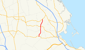
Route 36 is a short north–south state highway in southeastern Massachusetts.
Route description

From its terminus at Route 106 in Halifax, Route 36 abuts the eastern shore of East Monponsett Pond. The highway then crosses the MBTA Commuter Rail at Halifax Station. The highway runs near Silver Lake to the west and crosses Route 27 before ending at Route 14 just south of Pembroke Center. This road is locally famous as the location of the former Hobomock Inn, a tavern linked to the famous Massachusetts politician, James Michael Curley. The legend is that Curley designated this rural road as a state highway so that his cronies from Boston could find it more easily following state highway signage. It is also a fact that after it was so designated snow removal for Route 36 became a state, rather than town, responsibility.
Junction list
The entire route is in Plymouth County.
| Location | mi | km | Destinations | Notes | |
|---|---|---|---|---|---|
| Halifax | 0.00 | 0.00 | Southern terminus | ||
| Pembroke | 3.2 | 5.1 | |||
| 5.44 | 8.75 | Northern terminus | |||
| 1.000 mi = 1.609 km; 1.000 km = 0.621 mi | |||||
See also
 Massachusetts portal
 U.S. Roads portal
References
External links
 Media related to Massachusetts Route 36 at Wikimedia Commons