Mashta al-Helu
| Mashta al-Helou مشتى الحلو | |
|---|---|
| Town | |
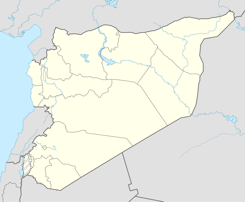 Mashta al-Helou Location in Syria | |
| Coordinates: 34°52′35″N 36°15′25″E / 34.87639°N 36.25694°E | |
| Country |
|
| Governorate | Tartus Governorate |
| District | Safita District |
| Nahiyah | Mashta al-Helu |
| Elevation | 465 m (1,526 ft) |
| Population (2004) | |
| • Total | 2,458 |
Mashta al-Helu (Arabic: مشتى الحلو, also known as Meshta al-Helu or Mashta al-Helo) is a town and resort in northwestern Syria, administratively part of the Tartus Governorate, located 35 kilometers east of Tartus. The village is located in a green wooded area amid the An-Nusayriyah Mountains, the Syrian coastal mountain range. Nearby localities include Kafrun to the west, al-Malloua and al-Bariqiyah to the southwest, Habnamrah and Marmarita to the south, Hadiya to the southeast, Kafr Ram to the east, Ayn Halaqim to the northeast, Ayn al-Shams to the north and Duraykish to the northwest.
According to the Syria Central Bureau of Statistics (CBS), Mashta al-Helu had a population of 2,458 in the 2004 census. It is the administrative center of the Mashta al-Helu nahiyah ("sub-district") of the Safita District which contained 19 localities with a collective population of 12,577 in 2004.[1] Its inhabitants are predominantly Christians.[2]
The town has an elevation of 465 meters above sea level. Prior to the Baathist takeover of the country in the 1960s, Mashta al-Helu was one of a few villages in the coastal mountain region that was electrified and connected to a grid.[3]
References
External links
Capital: Tartus | ||||||||
|  | |||||||
|
| ||||||||
| ||||||||
| ||||||||
