Marine Lines
| Marine Lines मरीन लाईन्स | |
|---|---|
| neighbourhood | |
|
| |
| Nickname(s): girgawn choupati | |
 Marine Lines | |
| Coordinates: 18°56′41″N 72°49′28″E / 18.9447°N 72.8244°ECoordinates: 18°56′41″N 72°49′28″E / 18.9447°N 72.8244°E | |
| Country | India |
| State | Maharashtra |
| District | Mumbai City |
| Metro | Mumbai |
| Government | |
| • Body | MCGM |
| Elevation | 10 m (30 ft) |
| Languages | |
| • Official | Marathi |
| Time zone | IST (UTC+5:30) |
| PIN | 400020[1] |
| Area code(s) | 022 |
| Vehicle registration | MH 01 |
| Civic agency | BMC |

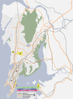
Marine Lines is a locality in South Mumbai. The name Marine Lines is derived from the Marine Battalion Lines, a military establishment built by the British in the 19th century.[2] The battalion was later converted to an air force residential quarters, and now lies just south of Metro Adlabs. It is also the name of a railway station on the Mumbai suburban railway on the Western Railway railway line. Marine Lines was also the name of the road on which Bombay Hospital and Liberty Cinema stand. It is now known as V Thackersey Marg. Marine Drive is the famous promenade near the station. Marine Drive has one of the finest Art Deco Residential Buildings facing the sea.
Near the station there is a Muslim cemetery and a municipal crematorium; Chandanwadi. Adjoining the station is the famous Marine Drive flyover; the only link to Marine Drive over the tracks from Princess Street beginning to end.
New Marine Lines is the area just south of the station near Churchgate. It is home to a number of offices including the UTI, R.O.C. (Registrar of Companies), Customs (Marine and Preventive Wing), Income Tax office and various other Governmental agencies.
Religious places
- The Church of Our Lady of Seven Dolours
- Hanuman Temple at Picket Road
- Kalbadevi Temple
Gol Masjid
Schools and colleges
- St. Xavier's College, Bombay
- Our Lady of Dolours High School
- HVB Academy
- Beramjee Jeejeebhoy Parsee Charitable Institution
- Elphinstone School
Literature and Popular Culture
" ... at Mrs Inverarity’s house in Marine Lines." From Rudyard Kipling's short story, Baa Baa Black Sheep, published 1888.
See also
List of city districts by population density
References
- ↑ "Pin code : Marine Lines, Mumbai". pincode.org.in. Retrieved 10 February 2015.
- ↑ 1893 map of Bombay