Mari, Cyprus
| Mari | |
|---|---|
 | |
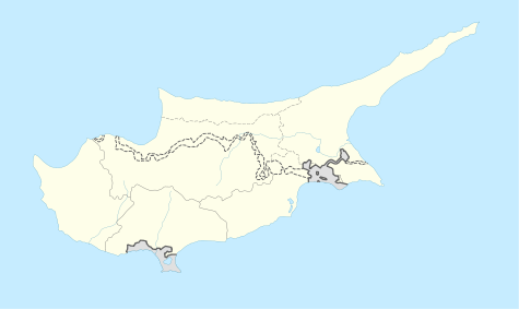 Mari Location in Cyprus | |
| Coordinates: 34°44′26″N 33°17′57″E / 34.74056°N 33.29917°ECoordinates: 34°44′26″N 33°17′57″E / 34.74056°N 33.29917°E | |
| Country |
|
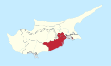
| District | Larnaca District |
| Population (2011)[1] | |
| • Total | 158 |
| Time zone | EET (UTC+2) |
| • Summer (DST) | EEST (UTC+3) |
| Website | http://www.mari.org.cy |
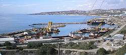
Mari (Greek: Μαρί; Turkish: Tatlısu or Mari) is a village in the Larnaca District of Cyprus, located 5 km west of Zygi. The village was largely populated by Turkish Cypriots before 1974.[2] In Turkish, it is known as Tatlısu ("sweet water").
References
- ↑ "C1. POPULATION ENUMERATED BY SEX, AGE, DISTRICT, MUNICIPALITY/COMMUNITY AND QUARTER (1.10.2011)", Population - Place of Residence, 2011, Statistical Service of the Republic of Cyprus, 2014-04-17, retrieved 2014-04-20
- ↑ http://www.kypros-cyprus.com/maps/1960.jpg
This article is issued from Wikipedia - version of the 6/8/2015. The text is available under the Creative Commons Attribution/Share Alike but additional terms may apply for the media files.