Marawara
| Marawara | |
|---|---|
|
U.S. soldiers providing security next to the Marawara Bridge (January 2010) | |
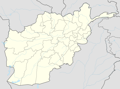 Marawara Location in Afghanistan | |
| Coordinates: 34°53′29″N 71°10′11″E / 34.89139°N 71.16972°ECoordinates: 34°53′29″N 71°10′11″E / 34.89139°N 71.16972°E | |
| Country |
|
| Province | Kunar Province |
| District | Marawara District |
| Elevation | 2,999 ft (914 m) |
| Time zone | UTC+4:30 |

Marawara (Marah Warah) is a village and the center of Marawara district, Kunar Province, Afghanistan. It is located at 34°53′29″N 71°10′51″E / 34.8914°N 71.1808°E at 914 m altitude in a river valley in the most western end of the district.
This article is issued from Wikipedia - version of the 5/18/2014. The text is available under the Creative Commons Attribution/Share Alike but additional terms may apply for the media files.