Maliha al-Atash
| Maliha al-Atash مليحة العطش | |
|---|---|
| Village | |
 Maliha al-Atash | |
| Coordinates: 32°49′27″N 36°17′38″E / 32.82417°N 36.29389°E | |
| Country |
|
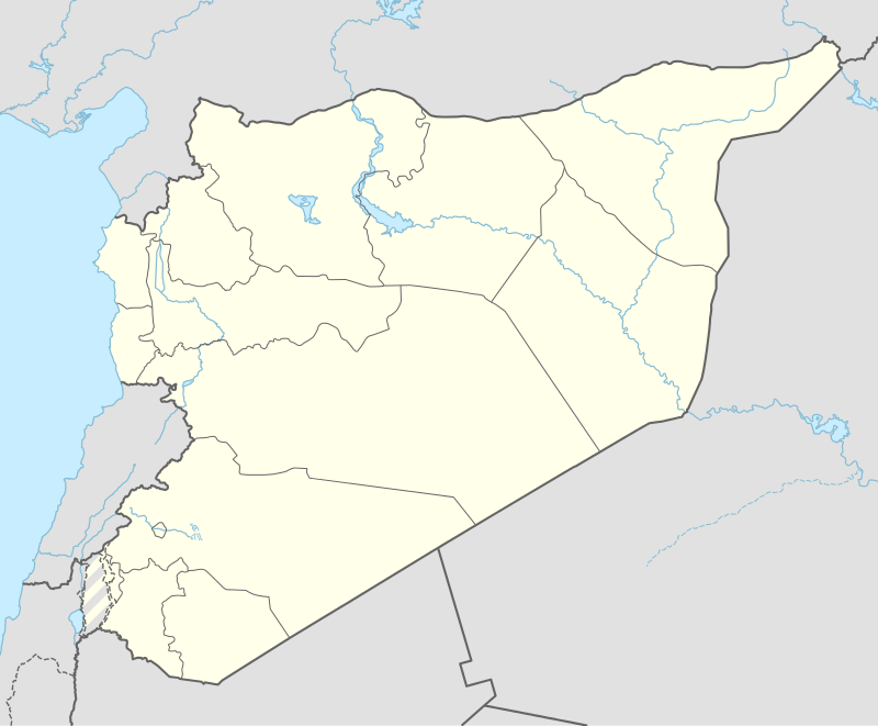
| Governorate | Daraa Governorate |
| District | Izra' District |
| Nahiyah | Izra |
| Population (2004 census)[1] | |
| • Total | 3,150 |
| Time zone | EET (UTC+2) |
| • Summer (DST) | EEST (UTC+3) |
Maliha al-Atash (Arabic: مليحة العطش, also spelled Melihet el-Atash, Melihet al-Hariri or Maliha al-Shamaliyya) is a village in southern Syria, part of the Daraa Governorate situated in the Hauran plain. It is located northeast of Daraa and nearby localities include Izra to the northwest, Busra al-Harir to the northeast, Nahitah and al-Maliha al-Gharbiya to the southeast, al-Hirak to the south, al-Surah to the southwest, Namer and Qarfa to the west. In the 2004 census by the Central Bureau of Statistics (CBS) Maliha al-Atash had a population of 3,150.[1]
References
- 1 2 General Census of Population and Housing 2004. Syria Central Bureau of Statistics (CBS). Daraa Governorate. (Arabic)
Bibliography
External links
- Map of town, Google Maps
- mapcarta
- El Karak-map, 21 M
Capital: Daraa | |||||||||||||||||||||||||||||||||||||
| |||||||||||||||||||||||||||||||||||||
| |||||||||||||||||||||||||||||||||||||
| |||||||||||||||||||||||||||||||||||||
This article is issued from Wikipedia - version of the 9/28/2016. The text is available under the Creative Commons Attribution/Share Alike but additional terms may apply for the media files.