Malar, Bap
| Malar मलार Malhar[1] | |
|---|---|
| village | |
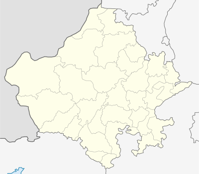 Malar  Malar Location in Rajasthan, India | |
| Coordinates: 27°12′11″N 72°22′58″E / 27.20306°N 72.38278°ECoordinates: 27°12′11″N 72°22′58″E / 27.20306°N 72.38278°E | |
| Country |
|
| State | Rajasthan |
| District | Jodhpur |
| Tehsil | Bap |
| Time zone | IST (UTC+5:30) |
| Vehicle registration | RJ |
| Climate | Dry (Köppen: BSh) |
| Temperature |
Summer: 45°C (122°F) Winter: -3°C (27°F) |
| Lok Sabha constituency | Jodhpur |
Malar is a panchayat village[2] in the state of Rajasthan, India.[3] Administratively, it is under Bap tehsil of Jodhpur District of Rajasthan.[4]
There are three villages in the Malar gram panchayat: Malar, Godarli, and Reen.[4]
Geography
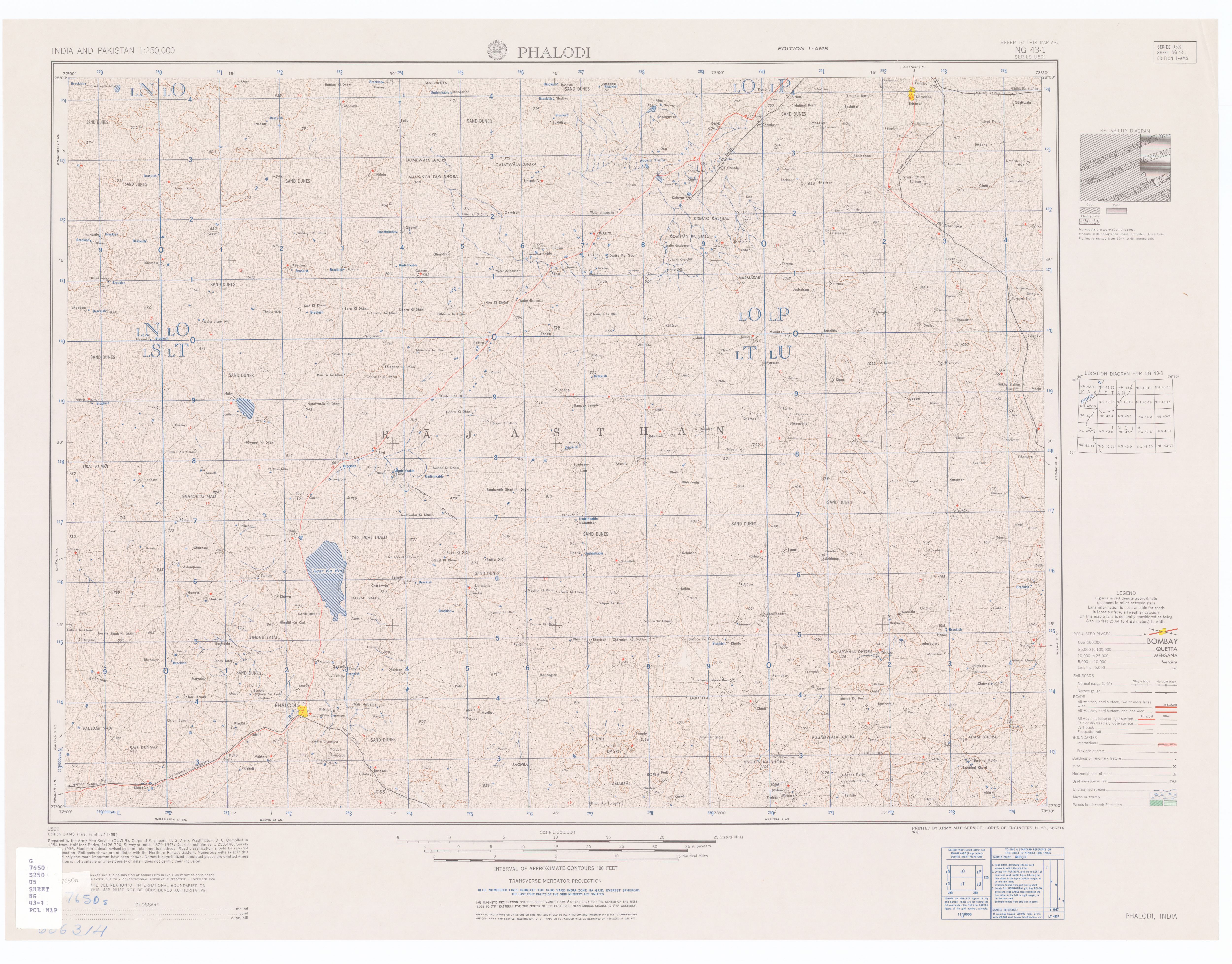
Malar is in the Thar Desert[1] and suffers extreme heat in the summers. It is located 10 kilometres (6 mi) north of the town of Phalodi.[5]
Godarli is located just 2 km by dirt road to the southeast. Reen is located about 9 km by road north of Malar almost to the Agar Ka Rin (dry lake).
History
Malar sits at the center of the area formerly covered by the princely states of Jaisalmer, Bikaner and Jodhpur.[5] Until 2009, Malar was part of Phalodi tehsil, at that point Bap Taluka was created out of northern Phalodi tehsil.
Demographics
In the India census of 2001, the village of Malar had a population of 943. Males constituted 501 (53.1%) of the population and females 442 (46.9%), for a gender ratio of 882 females per thousand males.[6]
Notes
- 1 2 Phalodi India, Sheet NG 43-01 (topographic map, scale 1:250,000), Series U-502, United States Army Map Service, November 1959
- ↑ 2011 Village Panchayat Code for Malar = 35636, "Reports of National Panchayat Directory: Village Panchayat Names of Bap, Jodhpur, Rajasthan". Ministry of Panchayati Raj, Government of India.
- ↑ 2001 Census Village code for Malar = 01915500, "2001 Census of India: List of Villages by Tehsil: Rajasthan" (PDF). Registrar General & Census Commissioner, India. p. 381. Archived (PDF) from the original on 13 November 2012.
- 1 2 2011 Census Village code for Malar = 084107, "Reports of National Panchayat Directory: List of Census Villages mapped for: Malar Gram Panchayat, Bap, Jodhpur, Rajasthan". Ministry of Panchayati Raj, Government of India.
- 1 2 Census of India, 1961. 14. 1961. p. xv.
- ↑ "Census 2001 Population Finder: Rajasthan: Jodhpur: Phalodi: Malar". Office of The Registrar General & Census Commissioner, Ministry of Home Affairs, Government of India. Archived from the original on 17 May 2013.