Makary, Cameroon
| Makary, Cameroon Mafaté,[1] Makari[2] | |
|---|---|
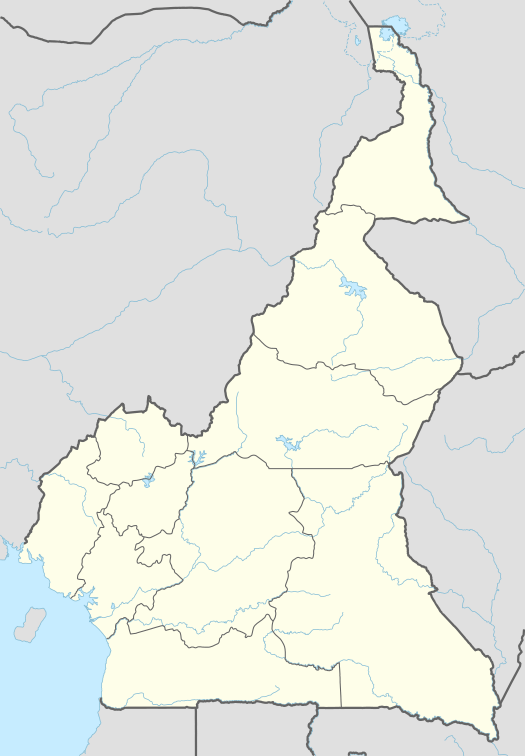 Location in Cameroon | |
| Coordinates: 12°34′27″N 14°27′14″E / 12.57417°N 14.45389°ECoordinates: 12°34′27″N 14°27′14″E / 12.57417°N 14.45389°E | |
| Country |
|
| Region | Far North Province |
| Department | Logone-et-Chari |
| Population (2005)[3] | |
| • Total | 6,287 |
| Time zone | CET (UTC+1) |
| • Summer (DST) | CEST (UTC+1) |
| UFI | -3152074 |
Makary[4] is a town in Logone-et-Chari, Far North Region, Cameroon, West Africa. The town is located on the right (east) bank of a distributary of the Chari River in the delta just before it enters Lake Chad. The people are known as Kotoko, and the local language is Mpade,[5] Fulani (Fulfulde) is the trade language.[6] The primary economic activity was and is fishing.[7]
History
Makary was part of the indigenous[8] Sao civilisation[9] that occupied the land south of Lake Chad from about the Sixth Century A.D.[10] going into decline by at least the Fourteenth Century.[7] With the decline of the Sao confederation, Makary was an independent kingdom,[11] one of the Kotoko kingdom city-states.[7] In the early Fifteenth Century, Makary went from being an ally of King Idris Alooma[12] to being a part of the Bornu Empire,[7] and soon converted to Islam.[7] However, by the late Eighteenth Century, although nominally still part of Bornu, the city states had reasserted themselves, and by 1800 Makary had formed a federation of seven fortified towns under the prince (Mé) of Makary.[7]
In March 1846 Umar of Borno, nominal general of the Bornu sultan Ibrahim, suffered a defeat at Kousséri by the forces of the Kingdom of Baguirmi, itself weakened by attacks from the Wadai Empire.[13] By the 1890s Rabih az-Zubayr was able to move into the power vacuum created by these contending forces and took first Oubangui-Chari, then Baguirmi, and then in 1894 Bornu.[14] This soon brought Makary under Rabih's control. After Rabih was killed by the French in 1900, Makary fell under the German sphere of influence.[7][15]
Despite the changes in rulers and religion the culture of Makary seems to represent an uninterrupted continuation of the original Sao culture.[16][17]
Geography
Makary sits on the delta; however the river bed of the Chari River is dry most of the year, only filling with the onset of the rainy season in July and drying up again by the end of October.[18]
Notes
- ↑ Mafaté (Variant) at GEOnet Names Server, United States National Geospatial-Intelligence Agency
- ↑ Makari (Variant) at GEOnet Names Server, United States National Geospatial-Intelligence Agency
- ↑ "Makary". World Gazetteer. Archived from the original on 2013-02-09.
- ↑ Makary (Approved) at GEOnet Names Server. United States National Geospatial-Intelligence Agency
- ↑ Frawley, William J., ed. (2003). International Encyclopedia of Linguistics, Volume 1. Oxford University Press. p. 238.
- ↑ Frawley 2003, p. 167
- 1 2 3 4 5 6 7 Hansen, Mogens Herman (2000). "The Kotoko City-States". A Comparative Study of Thirty City-state Cultures: An Investigation. Historisk-Filosofiske Skrifter, volume 21. Kgl. Danske Videnskabernes Selskab. pp. 531–546. ISBN 978-87-7876-177-4.
- ↑ Fanso, V. G. (1989). Cameroon History for Secondary Schools and Colleges, Vol. 1: From Prehistoric Times to the Nineteenth Century. Hong Kong: Macmillan. p. 18.
- ↑ Holl, Augustin F. C. (2001). "500 Years in the Cameroons: making sense of the archaeological record". In DeCorse, Christopher R. West Africa During the Atlantic Slave Trade: Archaeological Perspectives. London: Leicester University Press. p. 168. ISBN 978-0-7185-0247-8.
- ↑ Sources are not agreed upon the commencement date of Sao Civilization. For example urbanization occurred in the period 1100 a 1400 Lebeuf, Annie Masson-Detourbet (1981). "L'origine et la constitution des principautés Kotoko (Cameroun septentrional)". In Tardits, Claude. Contribution de la recherche ethnologique à l'histoire des civilisations du Cameroun (The contribution of enthnological research to the history of Cameroun cultures) (in French). Paris: Centre National de la Recherche Scientifique. pp. 209–218, page 213. and traditionally the culture started about the tenth century A.D. Davies, Oliver (1967). West Africa Before the Europeans: Archaeology & Prehistory. Methuen's Handbooks of archaeology. London: Methuen. p. 318. OCLC 192657.
- ↑ This kingdom and the later princedom under Bornu are sometimes called the "Maccari Kingdom". Holl 2001, p. 168
- ↑ Holl 2001, p. 170
- ↑ Helmolt, Hans F., ed. (1903). The history of the world; a survey of a man's record, Volume III: West Asia and Africa. New York: Dodd, Meade and Company. p. 536. OCLC 1193060.
- ↑ Helmolt 1903, p. 538
- ↑ The boundary between the French and German spheres was defined by the Convention between the French Republic and Germany for the Delimitation of the Colonies of French Congo and of Cameroon and French and German Spheres of Influence in the Region of Lake Chad, signed at Berlin on 15 March 1894. This boundary was confirmed by the Convention Confirming the Protocol of 9 April 1908 Defining the Boundaries between the French Congo and Cameroon, signed at Berlin on 18 April 1908.
- ↑ Davis 1967, p. 318
- ↑ Batello, Caterina; Marzot, Marzio; Touré, Adamou Harouna & Kenmore, Peter E. (2004). The Future is an Ancient Lake: Traditional Knowledge, Biodiversity and Genetic Resources for Food and Agriculture in Lake Chad Basin Ecosystems. Food and Agriculture Organization of the United Nations (FAO). p. 41. ISBN 978-92-5-105064-4.
- ↑ Hudgens, Jim & Trillo, Richard (2003). The Rough Guide to West Africa. London: Rough Guides. p. 1252. ISBN 978-1-84353-118-0.