Maing Ka
| Maing Ka | |
|---|---|
 Maing Ka Location in Burma | |
| Coordinates: 24°18′N 97°11′E / 24.300°N 97.183°ECoordinates: 24°18′N 97°11′E / 24.300°N 97.183°E | |
| Country |
|
| State | Kachin State |
| District | Bhamo District |
| Township | Bhamo Township |
| Population (2005) | |
| • Religions | Buddhism |
| Time zone | UTC + 6:30 (UTC+6.30) |
Maing Ka (as the crow flies) is a village in Bhamo Township in Bhamo District in the Kachin State of north-eastern Burma.[1] Kachin's capital Myitkyina is approximately 121 kilometers, or 75 miles, away from Maing Ka. The distance from Maing Ka to Myanmar's capital Nay Pyi Taw is approximately 517 kilometers, or 321 miles.[2]
References
External links
- Satellite map at Maplandia.com
- Search for Maing Ka in the MSN Encarta atlas
- Facts and Figures about Maing Ka - Places in the World
Capital: Myitkyina | ||
| Bhamo District |  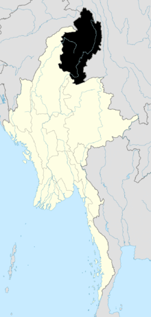 | |
| Mohnyin District | ||
| Myitkyina District | ||
| Putao District | ||
| Main cities and towns | ||
This article is issued from Wikipedia - version of the 4/21/2016. The text is available under the Creative Commons Attribution/Share Alike but additional terms may apply for the media files.