Maha Sarakham
| Maha Sarakham มหาสารคาม | |
|---|---|
| Town | |
| Motto: เมืองน่าอยู่ คู่การศึกษา พัฒนาองค์กร คุณภาพชีวิต เศรษฐกิจและสังคม อย่างยั่งยืน | |
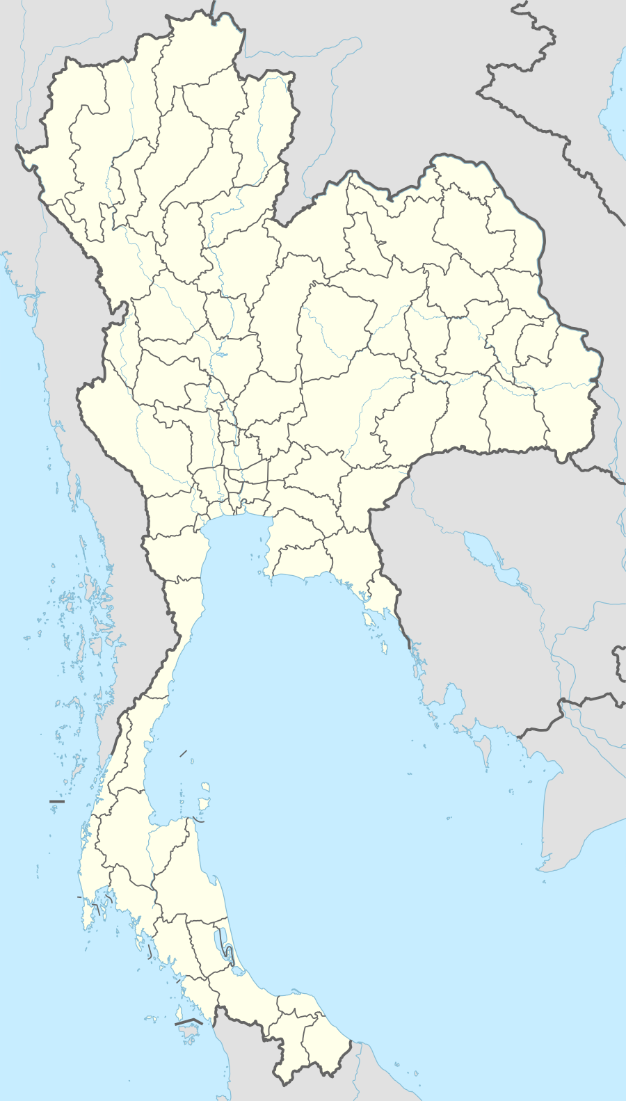 Maha Sarakham Location in Thailand | |
| Coordinates: 16°10′38″N 103°18′3″E / 16.17722°N 103.30083°E | |
| Country |
|
| Province | Maha Sarakham |
| Amphoe | Mueang Maha Sarakham |
| Tambon | Tambon Talat |
| Founded | 1936 |
| Government | |
| • Type | Thesaban |
| • Mayor | Kittisak Khanasawas |
| Area | |
| • Total | 9.32 sq mi (24.14 km2) |
| Population (2012) | |
| • Total | 40,154 |
| • Metro density | 4,308.1/sq mi (1,663.38/km2) |
| Time zone | ICT (UTC+7) |
| Postal code | 40000 |
Maha Sarakham is the capital city of Maha Sarakham Province in Thailand's north-eastern (Isan) region. Sarakham, as it is known to its inhabitants, is in a rice-growing area on the southern Korat plain, straddling the Chi River. Maha Sarakham is 456 km north-east of Bangkok and 87 km south-east of Khon Kaen.
The city has long been known as a regional education centre, the so-called "Taxila of Isan" (taking this name from the ancient Hindu centre of learning).[1] It is home to six colleges, as well as Maha Sarakham University (MSU) and Maha Sarakham Rajabhat University. Sarakham has the feel of a student town with the younger, more cosmopolitan population much in evidence in the downtown campus area and near MSU's second campus a few miles away at Kamlieng.[2]
For a time Maha Sarakham ranked with Sisaket as among the poorest cities in Isan. This is changing, partly under the influence of the rapidly growing student population. Today Maha Sarakham possesses two cinemas, a modern department store and market, and branches of the Tesco Lotus and Big C supermarkets. There has been extensive building development, especially on the eastern fringes of the city. Nevertheless, Sarakham remains a place where bicycle rickshaws take the place of taxis, and where visitors can still observe many aspects of life in a traditional mid-Isan town.
There are a number of important temples and religious sites in the province, notably at nearby Kantharawichai District and at Na Dun District to the south. The city and surrounding area contain a number of attractive parks. Maha Sarakham city has no railway station or airport, and the main transport links are via express bus, or by road connections to the airports in Khon Kaen and Roi Et. Recently the road link south was upgraded and is now mainly dual carriageway highway.
Climate
| Climate data for Maha Sarakham (1981–2010) | |||||||||||||
|---|---|---|---|---|---|---|---|---|---|---|---|---|---|
| Month | Jan | Feb | Mar | Apr | May | Jun | Jul | Aug | Sep | Oct | Nov | Dec | Year |
| Record high °C (°F) | 38.0 (100.4) |
39.7 (103.5) |
41.5 (106.7) |
42.4 (108.3) |
42.0 (107.6) |
41.2 (106.2) |
38.5 (101.3) |
37.0 (98.6) |
37.2 (99) |
37.2 (99) |
38.0 (100.4) |
36.7 (98.1) |
42.4 (108.3) |
| Average high °C (°F) | 31.4 (88.5) |
33.7 (92.7) |
35.7 (96.3) |
36.8 (98.2) |
35.2 (95.4) |
34.2 (93.6) |
33.6 (92.5) |
33.0 (91.4) |
32.6 (90.7) |
32.2 (90) |
31.6 (88.9) |
30.5 (86.9) |
33.4 (92.1) |
| Daily mean °C (°F) | 23.7 (74.7) |
25.8 (78.4) |
28.4 (83.1) |
30.1 (86.2) |
29.3 (84.7) |
29.0 (84.2) |
28.6 (83.5) |
28.0 (82.4) |
27.7 (81.9) |
27.1 (80.8) |
25.3 (77.5) |
23.5 (74.3) |
27.2 (81) |
| Average low °C (°F) | 16.7 (62.1) |
19.7 (67.5) |
22.5 (72.5) |
24.7 (76.5) |
24.9 (76.8) |
24.9 (76.8) |
24.6 (76.3) |
24.3 (75.7) |
23.8 (74.8) |
22.7 (72.9) |
19.9 (67.8) |
16.7 (62.1) |
22.1 (71.8) |
| Record low °C (°F) | 7.5 (45.5) |
9.8 (49.6) |
10.4 (50.7) |
18.5 (65.3) |
19.8 (67.6) |
21.5 (70.7) |
15.0 (59) |
20.3 (68.5) |
20.5 (68.9) |
15.2 (59.4) |
9.9 (49.8) |
5.3 (41.5) |
5.3 (41.5) |
| Average rainfall mm (inches) | 3.5 (0.138) |
15.0 (0.591) |
51.8 (2.039) |
89.0 (3.504) |
161.5 (6.358) |
177.8 (7) |
160.0 (6.299) |
231.9 (9.13) |
240.6 (9.472) |
111.4 (4.386) |
18.1 (0.713) |
3.1 (0.122) |
1,263.7 (49.752) |
| Average rainy days | 1.0 | 2.5 | 4.5 | 7.8 | 13.2 | 14.1 | 15.2 | 17.4 | 17.0 | 9.6 | 2.4 | 0.8 | 105.5 |
| Average relative humidity (%) | 70 | 67 | 66 | 68 | 76 | 78 | 79 | 82 | 84 | 79 | 73 | 70 | 74 |
| Mean monthly sunshine hours | 275.9 | 243.0 | 238.7 | 243.0 | 198.4 | 156.0 | 120.9 | 117.8 | 144.0 | 198.4 | 252.0 | 275.9 | 2,464 |
| Mean daily sunshine hours | 8.9 | 8.6 | 7.7 | 8.1 | 6.4 | 5.2 | 3.9 | 3.8 | 4.8 | 6.4 | 8.4 | 8.9 | 6.8 |
| Source #1: Thai Meteorological Department[3] | |||||||||||||
| Source #2: Office of Water Management and Hydrology, Royal Irrigation Department (sun and humidity)[4] | |||||||||||||
References
- ↑ "Maha Sarakham". Tourism Authority of Thailand (TAT). Retrieved 25 June 2015.
- ↑ DaGrossa, P (2003). "Chapter 2. Mahasarakham, The Education Province". The Meanings of Sex: University Students in north-east Thailand' (PDF). Honolulu: University of Hawaii. Retrieved 25 June 2015.
Unpublished PhD thesis
- ↑ "Climatological Data for the Period 1981–2010". Thai Meteorological Department. p. 11. Retrieved 1 August 2016.
- ↑ "ปริมาณการใช้น้ำของพืชอ้างอิงโดยวิธีของ Penman Monteith (Reference Crop Evapotranspiration by Penman Monteith)" (PDF) (in Thai). Office of Water Management and Hydrology, Royal Irrigation Department. p. 51. Retrieved 1 August 2016.
External links
 Maha Sarakham travel guide from Wikivoyage
Coordinates: 16°10′38″N 103°18′3″E / 16.17722°N 103.30083°E