Madre de Dios Island
| Native name: <span class="nickname" ">Isla Madre de Dios | |
|---|---|
 Madre de Dios Island | |
| Geography | |
| Coordinates | 50°06′10″S 75°14′38″W / 50.10278°S 75.24389°WCoordinates: 50°06′10″S 75°14′38″W / 50.10278°S 75.24389°W |
| Adjacent bodies of water | Pacific ocean |
| Area | 1,043 km2 (403 sq mi) |
| Coastline | 549.5 km (341.44 mi) |
| Administration | |
| Region | Magallanes |
| Additional information | |
| NGA UFI=-891233 | |
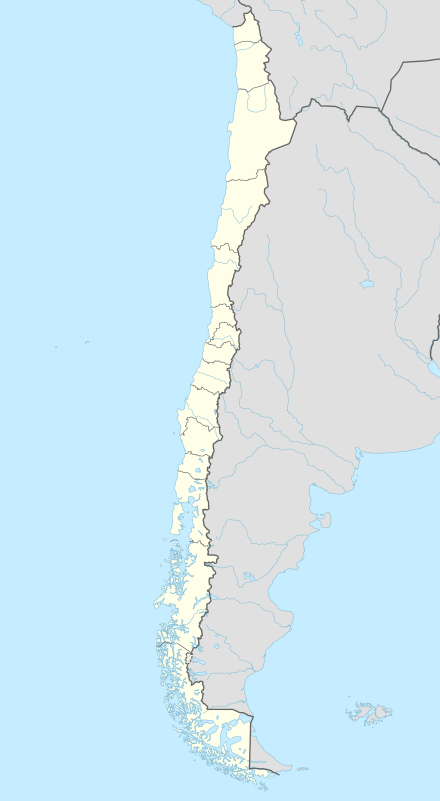
Madre de Dios Island (Spanish: Isla Madre de Dios, Spanish pronunciation: [ˈmaðɾe ðe ðjos]) is an island in the Magallanes Region, Chile. It is located west of the Trinidad Channel and Concepción Channel. Madre de Dios Island is composed partly of limestone and has several natural caves. In one of those caves, called the "Cave of the whales", skeletons of whales 2600 to 3500 old have been discovered 10 to 30 meters above sea level. In another cave, named Cueva del Pacifico, rock art was discovered in 2006. Many others caves near the coast were used by the indigenous Kaweskar people for burial. One skull found dates back to 4500 years ago. Some caves were used as temporary camps. Since 2008, the island has been protected as a nature reserve.
See also
External links
- Islands of Chile @ United Nations Environment Programme
- World island information @ WorldIslandInfo.com
- South America Island High Points above 1000 meters
- United States Hydrographic Office, South America Pilot (1916)
- French expedition to Isla Madre de Dios
- Le Mystère de la Baleine, a film by Luc-Henri Fage, 52 min., GEDEON, 2009.
- L'île aux Glaciers de Marbre, Georges Marbach & al, Centre Terre publisher, Toulouse 2012.
- National Geographic article
- Photos of Isla Madre de Dios