Liuta
| Lyuta Люта Havasköz | |
|---|---|
|
Map of Ukraine with Zakarpattia Oblast highlighted. | |
 Lyuta Location of Lyuta | |
| Coordinates: 48°54′0″N 22°46′0″E / 48.90000°N 22.76667°ECoordinates: 48°54′0″N 22°46′0″E / 48.90000°N 22.76667°E | |
| Country Oblast Raion |
Zakarpattia Oblast Velykyi Bereznyi Raion |
| Elevation | 540 m (1,770 ft) |
| Population | |
| • Total | 2,412 |
| Time zone | EET (UTC+2) |
| • Summer (DST) | EET (UTC+3) |
Liuta, also Ljuta (Ukrainian and Rusyn: Люта; Hungarian: Havasköz) is a small village located in the Velykyi Bereznyi Raion of Zakarpattia Oblast of Ukraine.
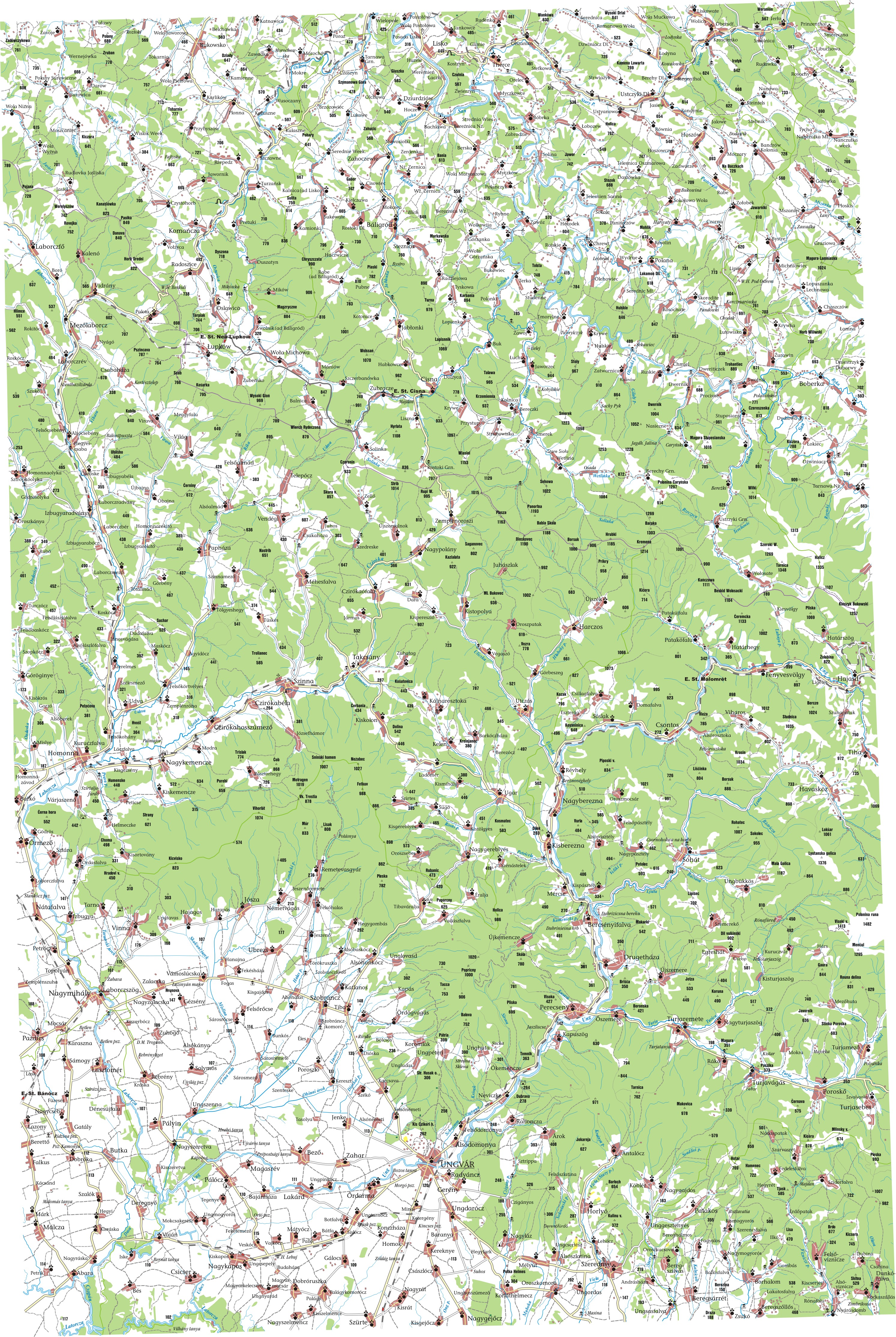
Lyuta lies at the foot of the Carpathian Mountains, about 25 miles (40 km) northeast of Uzhhorod and 362 miles (583 km) West-SouthWest of Kiev. It is on the bank of the Lyutanka River. The name of the village means snowyside/snowycorner because of the cold winters in the area. Its history dates back to 1599. The estimated population is under 4000 people.
See also
External links
- MultiMap (Current) http://uk2.multimap.com/M4/browse.cgi?scale=100000&lon=22.7667&lat=48.9000&icon=X
- Detailed map (1910 Ung) http://lazarus.elte.hu/hun/tantort/2003/palyazat/40-49_ungvar.jpg
- Further information http://www.fallingrain.com/world/UP/0/Lyuta.html
| Raions | |||||||
|---|---|---|---|---|---|---|---|
| Cities |
| ||||||
| |||||||
This article is issued from Wikipedia - version of the 10/12/2016. The text is available under the Creative Commons Attribution/Share Alike but additional terms may apply for the media files.