Lund, Nærøy
| Lund | |
|---|---|
| Village | |
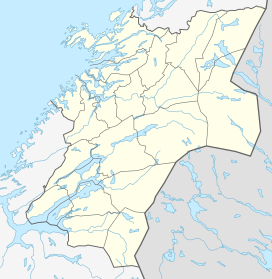 Lund  Lund Location in Nord-Trøndelag | |
| Coordinates: 64°46′01″N 11°36′30″E / 64.76694°N 11.60833°ECoordinates: 64°46′01″N 11°36′30″E / 64.76694°N 11.60833°E | |
| Country | Norway |
| Region | Trøndelag |
| County | Nord-Trøndelag |
| District | Namdalen |
| Municipality | Nærøy |
| Elevation[1] | 22 m (72 ft) |
| Time zone | CET (UTC+01:00) |
| • Summer (DST) | CEST (UTC+02:00) |
| Post Code | 7818 Lund |
Lund is a village in the municipality of Nærøy in Nord-Trøndelag county, Norway. Lund is located on the south side of the Foldafjord, about 11 kilometres (6.8 mi) south of Kolvereid. Norwegian County Road 769 runs through the village. Lund Chapel is located in the village. The village is connected to Fosnes to the south by two bridges over the Fjærangen fjord: Hestøy Bridge and Smines Bridge.
References
This article is issued from Wikipedia - version of the 8/1/2016. The text is available under the Creative Commons Attribution/Share Alike but additional terms may apply for the media files.