Lukomir
| Lukomir | |
|---|---|
| Village | |
.jpg) | |
 Lukomir | |
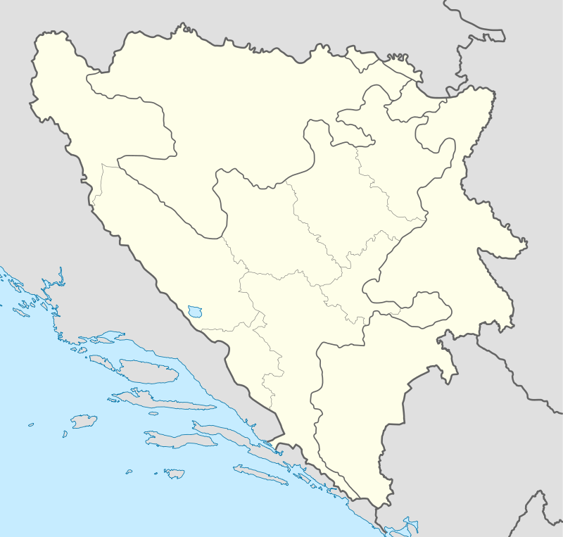
| Coordinates: BA 43°38′N 18°11′E / 43.633°N 18.183°E | |
| Country |
|
| Municipality | Konjic |
| Elevation | 4,905 ft (1,495 m) |
| Time zone | CET (UTC+1) |
| • Summer (DST) | CEST (UTC+2) |
Lukomir is a village in Bosnia and Herzegovina situated in the municipality of Konjic. Lukomir is the highest altitude and most remote village in the entire country.[1]
Characteristics
Lukomir sits at an altitude of 1,495 m on the Bjelašnica mountain. Stećci originating from the 14th and 15th century exist at the village and suggest that it was inhabited for hundreds of years.[2] The homes in the area are made of stone while their roofs are composed of wooden tiles. The Rakitnica canyon is located nearby and is said to be the origin of a dragon by local folklore.[3]
In film
- A documentary entitled "Lukomir - Six Months Off" (Dutch: Winterslaap in Lukomir) directed by Niels van Koevorden was filmed in 2010. It was screened at the Netherlands Film Festival.[4] It later won the 2010 Documentary Award from Dutch broadcaster VPRO.[5]
- The village appears in the film Killing Season as the place of birth of main character Emil Kovač (played by John Travolta)
References
- ↑ Bangs, Richard (16 September 2009). "Bosnia: a model for the planet". MSNBC.
- ↑ Huseinović, Samir (24 August 2008). "Turizam ni na nebu ni na zemlji". Deutsche Welle (in Serbo-Croatian).
- ↑ Šolić, Tomislav. "Posljednja planinska sela Bjelašnice" (in Serbo-Croatian). National Geographic.
- ↑ "Winterslaap in Lukomir". Netherlands Film Festival.
- ↑ Sunje, Aida (19 July 2010). "Award Winning Film on Lukomir to Be Screened in Bosnian Village". Balkan Insight.
| Wikimedia Commons has media related to Lukomir (Konjic). |
Coordinates: 43°38′N 18°11′E / 43.633°N 18.183°E
This article is issued from Wikipedia - version of the 7/19/2016. The text is available under the Creative Commons Attribution/Share Alike but additional terms may apply for the media files.