Luanshya Airport
| Luanshya Airport | |||||||||||
|---|---|---|---|---|---|---|---|---|---|---|---|
| IATA: none – ICAO: FLLA | |||||||||||
| Summary | |||||||||||
| Airport type | Public | ||||||||||
| Serves | Luanshya | ||||||||||
| Elevation AMSL | 4,100 ft / 1,250 m | ||||||||||
| Coordinates | 13°08′30″S 28°25′30″E / 13.14167°S 28.42500°ECoordinates: 13°08′30″S 28°25′30″E / 13.14167°S 28.42500°E | ||||||||||
| Map | |||||||||||
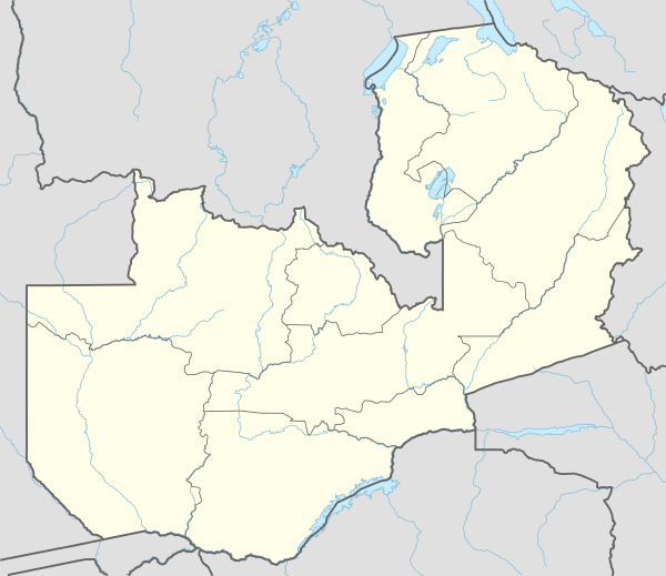 FLLA Location of the airport in Zambia | |||||||||||
| Runways | |||||||||||
| |||||||||||
Luanshya Airport (ICAO: FLLA) is an airport serving Luanshya, Copperbelt Province, Zambia. Runway has an additional 385 feet (117 m) dirt overrun on the east end, narrowing to an aligned dirt road of indeterminate length.
See also
- Transport in Zambia
 Zambia portal
 Aviation portal
References
- Directory of Airports in Zambia
- Great Circle Mapper
- Google Earth
External links
This article is issued from Wikipedia - version of the 12/5/2016. The text is available under the Creative Commons Attribution/Share Alike but additional terms may apply for the media files.