Lower Shawneetown
|
Bronze historical marker near site | |
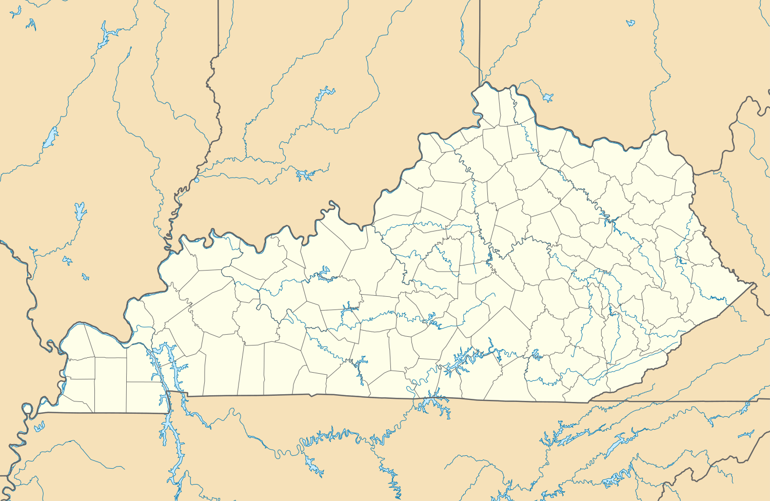 Approximate location within Kentucky today | |
| Location |
South Portsmouth, Kentucky, Greenup County, Kentucky, |
|---|---|
| Region | Greenup County, Kentucky |
| Coordinates | 38°43′17.76″N 83°1′22.98″W / 38.7216000°N 83.0230500°W |
| History | |
| Periods | Madisonville horizon, protohistoric |
| Cultures | Fort Ancient culture, Shawnee people |
| Architecture | |
| Architectural details |
Number of monuments: |
|
Lower Shawneetown | |
| NRHP Reference # | 83002784[1] |
| Added to NRHP | April 28, 1983 |

Lower Shawneetown (15Gp15), also known as the Bentley Site, Shannoah and Sonnontio, is a Late Fort Ancient culture Madisonville horizon (post 1400 CE) archaeological site overlain by an 18th-century Shawnee village; it is located near South Portsmouth in Greenup County, Kentucky.[2] It was added to the National Register of Historic Places on April 28, 1983.[1]
Between about 1735 and 1758 Lower Shawneetown became a center for commerce and diplomacy, "a sort of republic populated by a diverse array of migratory peoples, from the Iroquois to the Delawares, and supplied by British traders, Lower Shawneetown had become a formidable threat to French ambitions. With a 'fairly large number of bad characters from various nations' Lower Shawneetown posed a significant challenge to France and Great Britain alike. The community was less a village and more of a 'district extending along the wide Scioto River and narrower Ohio River floodplains and terraces.' It was a sprawling series of wickiups and longhouses...French and British traders regarded Lower Shawneetown as one of two capitals of the Shawnee tribe."[3]
The town was destroyed by floods in November, 1758 and the population relocated to another site further up the Scioto River.[4]
Portsmouth Earthworks, Group A
A feature of the site is the "Old Fort Earthworks", a part of the Portsmouth Earthworks known as Group A. Built between 100 BCE and 500 CE by the Adena culture, the earthworks are a series of large rectangular enclosures connected to the main features of the group (located across the Ohio River in Portsmouth) by an earthen causeway.[5]
Fort Ancient settlement
The site is a 1.2 hectare village on the second flood terrace of the Ohio River, located across from the mouth of the Scioto River. It was excavated in the 1930s and was discovered to have had similar structures and building techniques as those found at another nearby Fort Ancient site, the Hardin Village Site located 13 kilometres (8.1 mi) up the Ohio.[6] Also found during the excavations were distinctive Madisonville horizon pottery,[7] including cordmarked, plain and grooved-paddle jars, as well as a variety of chert points, scrapers and ceremonial pipes.[2]
Many 18th century European trade goods were also found at the site, including gun spalls and gunflints, gun parts (sideplate, mainspring, ram pipes, and breech plugs), wire-wound and drawn glass beads, tinkling cones, a button, pendants, an earring, cutlery, kettle ears, a key, nails, chisels, hooks, a buckle, a Jew's harp, and pieces of a pair of iron scissors.[2][6]
Shawnee village
Established in the mid-1730s at the mouth of the Scioto River, this was one of the earliest known Shawnee settlements on both sides of the Ohio River.[8] The name of the town was not recorded, but scholars believe it may have been "Chalahgawtha," a Shawnee word meaning "principal place".[9] Pressure from the growing European populations on the east coast of North America and in southern Canada had caused Native American populations to concentrate in the Ohio River Valley,[10] and Lower Shawneetown was situated at a convenient point, accessible to many communities living on tributaries of the Ohio River. The area had Iroquois, Wyandot, and Miami communities within a few days' journey. The town also lay near the Seneca Trail, which was used by Cherokees and Catawbas, and it was surrounded by fertile, alluvial flatlands that were ideal for growing corn. Although mainly a Shawnee village, the population included contingents of Seneca and Lenape.[3] The opportunity to trade for furs and to broker political alliances also attracted both British and French traders[9] and the town became a key center in dealings with other tribes and with Europeans before it was abandoned about November 1758.[2][4][11]
Visits by French soldiers
Both the British and the French became increasingly concerned about the growing Native American settlements in the region, including Lower Shawneetown's neighbors, Logstown, Pickawillany, and Sandusky. The earliest reference to it is in a July 27, 1734 letter by François-Marie Bissot, Sieur de Vincennes, describing an English trader's warehouse (probably that of George Croghan and William Trent) in "the home of the Shawnees on the Ohio River".[4] The French had focused much attention on Canada, allowing English traders to establish themselves in the Ohio Valley, but in the late 1730s the French began trying to correct this by sending expeditions into the region.
The earliest eyewitness account is a report by Baron de Longueuil from July 1739. A French military expedition made up of 123 French soldiers and 319 Native American warriors from Quebec, under the command of Charles III Le Moyne, was on its way to help defend New Orleans from the Chickasaw, who were attacking the city on behalf of England. While on their journey down the Ohio River towards the Mississippi, they met with local chiefs in a village on the banks of the Scioto.[4]
Concerned that this vibrant community would be readily influenced by trade goods supplied by the British, the Governor of New France, Charles de la Boische, Marquis de Beauharnois sent emissaries to Lower Shawneetown in 1741 to try to persuade the Shawnees to relocate to Detroit, but the proposal was rejected.[3]
In the summer of 1749 Pierre Joseph Céloron de Blainville moved down the Ohio River on his "lead plate expedition," burying lead plates at six locations where major tributaries entered the Ohio. The plates were inscribed to claim the area for France. Céloron also sought out British traders and warned them to leave this territory which belonged to France.[9] Hearing that a French military force was approaching, the inhabitants hastily erected a stockade and fired three shots at a delegation which reached the gates bearing a French flag. The Shawnees reluctantly opened the gates and invited Céloron to enter; he summoned the five Pennsylvania traders who were then living in the town and ordered them to leave, but they refused.[12] Céloron considered plundering their goods, but as he was confronted by a large and well-armed Shawnee force, he desisted and continued on his way.[13]
Peter Chartier
In April 1745 Peter Chartier and about 400 Shawnees took refuge in Lower Shawneetown after defying Governor Patrick Gordon in a conflict over the sale of rum to the Shawnees. Chartier opposed the sale of alcohol in Native American communities and threatened to destroy any shipments of rum that he found.[14] He persuaded members of the Pekowi Shawnee to leave Pennsylvania and migrate south. After staying in Lower Shawneetown for a few weeks they proceeded into Kentucky to found the community of Eskippakithiki.[4]
Visits by British traders

William Trent established a storehouse in Lower Shawneetown sometime around 1734, and the Shawnees kept it secure in order to encourage further trade with the British. Between 1748 and 1751 the British traders Andrew Montour and George Croghan visited the town three times while attempting to strengthen the alliance between the Shawnees and the British government.[4] In 1750, the Ohio Company hired Christopher Gist, a skilled woodsman and surveyor, to explore the Ohio Valley in order to identify lands for potential settlement. He surveyed the Kanawhan Region and the Ohio Valley tributaries in 1750-1751 and 1753. In January 1751 Gist, Croghan and Montour, accompanied by Robert Callender, visited the town.
Gist's journal entry from January 29, 1751:
- "Tuesday 29.— Set out...to the Mouth of Sciodoe Creek opposite to the Shannoah Town, here we fired our Guns to alarm the Traders, who soon answered, and came and ferryed Us over to the Town — The Land about the Mouth of Sciodoe Creek is rich but broken fine Bottoms upon the River & Creek. The Shannoah Town is situate upon both Sides the River Ohio, just below the Mouth of Sciodoe Creek, and contains about 300 Men, there are about 40 Houses on the S Side of the River and about 100 on the N Side, with a Kind of State-House of about 90 Feet long, with a light Cover of Bark in which they hold their Councils."
The journal terminates with a detailed description of a festival Gist witnessed during his stay in Lower Shawneetown.[15]
As a community of 300 men, the town may have had a total population of between 1,200[11] and 1,500.[16] The town consisted of 40 houses on the Kentucky side and 100 houses on the Ohio side, including a 90 feet (27 m) long council house.[8] The Shawnee had relocated part of the village on the east bank of the Scioto River and on the Kentucky side of the Ohio River after a flood destroyed much of the original village which had been situated on the Scioto River's west bank.[6]
Captives
At least two captives taken during raids on American pioneer settlements are known to have lived in Lower Shawneetown: Catherine Gougar (1732-1801) was kidnapped in 1744 from her home in Berks County, Pennsylvania and lived in the town for five years.[17] She was eventually sold to French-Canadian traders and after two more years in Canada, managed to return home in 1751.[18] Mary Draper Ingles (1732-1815) was kidnapped during the Draper's Meadow massacre in July 1755 and taken to Lower Shawneetown, but she escaped in mid-October with another woman and walked several hundred miles to return to her home.[19]
Destruction
Charles Augustus Hale states that in about November, 1758, "...a very extreme, if not unprecedented, flood in the rivers swept off a greater part of the town, and it was never rebuilt at that place; but the tribe moved its headquarters...up the Scioto and built up successively the Old and New Chillicothe, or Che-le-co-the Towns. There remained a Shawnee village at the mouth of the Scioto, which was then built upon the other side, the present site of the city of Portsmouth."[4]
When Mary Jemison, a captive of the Seneca, spent the winter at the mouth of the Scioto River in 1758-1759, she reported that Lower Shawneetown had been abandoned and relocated further up the Scioto River.[20] It is possible that this new village was Chalahgawtha at the site of present-day Chillicothe, Ohio.[4]
See also
References
- 1 2 "National Register Information System". National Register of Historic Places. National Park Service. 2010-11-02.
- 1 2 3 4 Sharp, William E. (1996). "Chapter 6:Fort Ancient Farmers". In Lewis, R. Barry. Kentucky Archaeology. University Press of Kentucky. pp. 170–176. ISBN 0-8131-1907-3.
- 1 2 3 Stephen Warren, Worlds the Shawnees Made: Migration and Violence in Early America, UNC Press Books, 2014. ISBN 1469611732
- 1 2 3 4 5 6 7 8 Charles Augustus Hanna, The Wilderness Trail: Or, The Ventures and Adventures of the Pennsylvania Traders on the Allegheny Path, Volume 1, Putnam's sons, 1911
- ↑ "Portsmouth Earthworks". Ohio History Central. Retrieved 2009-06-06.
- 1 2 3 David Pollack and A. Gwynn Henderson, "A Preliminary Report on the Contact Period Occupation at Lower Shawneetown (l5GP15), Greenup County, Kentucky," paper presented at the 58th Annual Meeting of the Central States Anthropological Society on April 9, 1982.
- ↑ Michelle M. Davidson, "Preliminary mineralogical and chemical study of Pre-Madisonville and Madisonville horizon Fort Ancient ceramics," Norse Scientist, Vol. 1, Issue 1, April 2003; Northern Kentucky University.
- 1 2 Foster, Emily (2000-08-24). The Ohio Frontier: An Anthology of Early Writings. The University Press of Kentucky. p. 13. ISBN 978-0-8131-0979-4.
- 1 2 3 A. Glynn Henderson, "The Lower Shawnee Town on Ohio: Sustaining Native Autonomy in an Indian "Republic"." In Craig Thompson Friend, ed., The Buzzel about Kentuck: Settling the Promised Land, University Press of Kentucky, 1999; pp. 25-56. ISBN 0813133394
- ↑ Jerry E. Clark, "A System Model of Shawnee Indian Migration," Transactions of the Nebraska Academy of Sciences, Vol VII, 1979.
- 1 2 Gordon Calloway, The Shawnees and the War for America, The Penguin library of American Indian history; Penguin, 2007. ISBN 0670038628
- ↑ "Celeron de Bienville". Ohio History Central. Ohio Historical Society. Retrieved 2010-11-03.
- ↑ Ian K. Steele, Setting All the Captives Free: Capture, Adjustment, and Recollection in Allegheny Country, Vol. 71 of McGill-Queen's Native and Northern Series; McGill-Queen's Press - MQUP, 2013. ISBN 0773589899
- ↑ "Hanna on Peter Chartier", E.P. Grondine, posted Thu Feb 14, 2013.
- ↑ The Journal of Christopher Gist, 1750-1751 From Lewis P. Summers, 1929, Annals of Southwest Virginia, 1769-1800. Abingdon, VA.
- ↑ Henry F. Dobyns, William R. Swagerty, Their Number Become Thinned: Native American Population Dynamics in Eastern North America, ACLS Humanities E-Book; Native American historic demography series; Newberry Library. Center for the History of the American Indian, University of Tennessee Press, 1983. ISBN 0870494007
- ↑ Caroline S. Coldren, "Catherine Gougar Goodman," monograph, April 1940; Family History Library.
- ↑ Ohio History, Volume 31; Ohio Historical Society., 1922.
- ↑ James Duvall, "Mary Ingles and the Escape from Big Bone Lick," Boone County Public Library, 2009.
- ↑ James Everett Seaver and William Pryor Letchworth, A narrative of the life of Mary Jemison: De-he-wä-mis, the white woman of the Genesee, G.P. Putnam's Sons, 1910.
| Anderson Focus |
|  |
|---|---|---|
| Baum Focus |
| |
| Feurt Focus | ||
| Madisonville Focus | ||
| ||
| Topics | |
|---|---|
| Lists by states |
|
| Lists by insular areas | |
| Lists by associated states | |
| Other areas | |
| |