Lough O'Flynn
| Lough O'Flynn | |
|---|---|
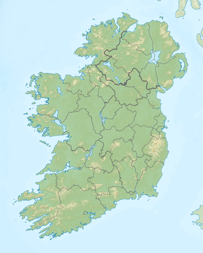 Location in Ireland | |
| Location | County Roscommon |
| Coordinates | 53°45′52″N 8°37′52″W / 53.76444°N 8.63111°WCoordinates: 53°45′52″N 8°37′52″W / 53.76444°N 8.63111°W |
| Primary inflows | River Suck |
| Primary outflows | River Suck |
| Catchment area | 18.35 km2 (7.1 sq mi) |
| Basin countries | Ireland |
| Max. length | 2.3 km (1.4 mi) |
| Max. width | 0.8 km (0.5 mi) |
| Surface area | 1.37 km2 (0.53 sq mi) |
| Average depth | 4.5 m (15 ft) |
| Max. depth | 16.5 m (54 ft) |
| Surface elevation | 77 m (253 ft) |
| References | [1][2][3] |
Lough O'Flynn is a freshwater lake in the west of Ireland. It is located in west County Roscommon.
Geography
Lough O'Flynn measures about 2 km (1.2 mi) long and 1 km (0.6 mi) wide. It is located about 10 km (6 mi) east of Ballyhaunis, just north of the village of Ballinlough.[1]
Natural history
Fish species in Lough O'Flynn include roach, perch, brown trout, pike and the critically endangered European eel.[3] The lake is beside the Carrowbehy/Caher Bog Special Area of Conservation.[4]
See also
References
- 1 2 Google (29 Dec 2015). "Lough O'Flynn" (Map). Google Maps. Google. Retrieved 29 Dec 2015.
- ↑ "A Reference Based Typology and Ecological Assessment System for Irish Lakes" (PDF). Environmental Protection Agency (Ireland). 2006. p. 19. Retrieved 29 Dec 2015.
- 1 2 "Sampling Fish for the Water Framework Directive : Lough O'Flynn" (PDF). Inland Fisheries Ireland. Jul 2014. Retrieved 29 Dec 2015.
- ↑ "Carrowbehy/Caher Bog SAC" (PDF). National Parks and Wildlife Service (Ireland). Retrieved 29 Dec 2015.
This article is issued from Wikipedia - version of the 12/30/2015. The text is available under the Creative Commons Attribution/Share Alike but additional terms may apply for the media files.