Logea Island
| Nickname: Rogeia Island | |
|---|---|
 Logea Island | |
| Geography | |
| Location | Oceania |
| Coordinates | 10°38′19″S 150°38′55″E / 10.63861°S 150.64861°ECoordinates: 10°38′19″S 150°38′55″E / 10.63861°S 150.64861°E[1] |
| Archipelago | Louisiade Archipelago |
| Adjacent bodies of water | Solomon Sea |
| Total islands | 1 |
| Major islands |
|
| Area | 9.02 km2 (3.48 sq mi) |
| Length | 7.3 km (4.54 mi) |
| Width | 2.3 km (1.43 mi) |
| Coastline | 17.8 km (11.06 mi) |
| Highest elevation | 1,215 ft (370.3 m) |
| Highest point | Mount Kasia |
| Administration | |
| Province |
|
| Island Group | Samarai Islands |
| Island Group | Logea Islands |
| Ward | split |
Largest settlement |
Kasabanalua (population 250) |
| Demographics | |
| Demonym | Papuan people |
| Population | 1004 (2014) |
| Pop. density | 111.3 /km2 (288.3 /sq mi) |
| Ethnic groups | Papauans, Austronesians, Melanesians. |
| Additional information | |
| Time zone | |
| Official website |
www |
| ISO Code = PG-MBA | |
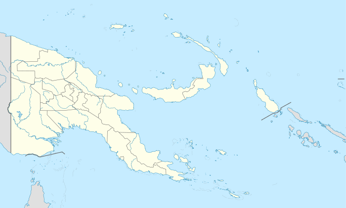
Logea Island (also spelled Rogeia) is a large island separating West Channel, East Channel and China Strait, just south of Milne Bay, in Milne Bay Province, Papua New Guinea.
Administration
The island is split between 2 Wards: Logea South, and Logea North. both belong to Bwanabwana Rural Local Level Government Area LLG, Samarai-Murua District, which are in Milne Bay Province.[2]
Geography
The island is part of the Logea group, itself a part of Samarai Islands of the Louisiade Archipelago.
Demographics
The population of 1004 is split between 10 villages along the coast, where Kasabanalua on the north point serves as the center. other villages are : Kumikuku, Bwasikauli, Panama Point, Dabali, Logea Pota, Isukopu, Gabui, Boiduhana and Dagedagela.
Economy
The islanders, like other from Samarai Islands are experts in boat building.[3] The most of them are farmers as opposed to eastern Louisiade Archipelago islanders. they grow Sago, Taro, and Yams for crops.
Transportation
There are 2 docks at Kasabanalua and Pota.