Llamayuq Q'asa (Bolivia)
For the mountain in Peru, see Llamayuq Q'asa.
| Llamayuq Q'asa | |
|---|---|
 Llamayuq Q'asa Location within Bolivia | |
| Highest point | |
| Elevation | 4,640 m (15,220 ft) [1] |
| Coordinates | 16°55′12″S 66°31′43″W / 16.92000°S 66.52861°WCoordinates: 16°55′12″S 66°31′43″W / 16.92000°S 66.52861°W |
| Geography | |
| Location |
Bolivia, Cochabamba Department |
| Parent range | Andes |
Llamayuq Q'asa (Quechua llama llama, -yuq a suffix, q'asa mountain pass,[2] "mountain pass with llamas", also spelled Llamayoj Khasa) is a mountain in the Bolivian Andes which reaches a height of approximately 4,640 m (15,220 ft). It is located in the Cochabamba Department, Ayopaya Province, Cocapata Municipality. Llamayuq Q'asa lies northeast of a lake named Wallatani Quta.[1][3]
References
- 1 2 Bolivia 1:100,000 Comunidad Chorito 3537, Map prepared and published by the Defense Mapping Agency, Hydrographic/Topographic Center, Bethesda, MD
- ↑ Teofilo Laime Ajacopa, Diccionario Bilingüe Iskay simipi yuyayk'ancha, La Paz, 2007 (Quechua-Spanish dictionary)
- ↑ "Morochata". INE, Bolivia. Retrieved April 17, 2016. (including Cocapata Municipality)
Capital: Cochabamba | ||
| Provinces | 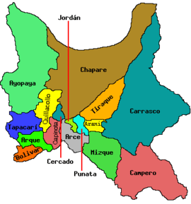 | |
| Municipalities (and seats) |
| |
This article is issued from Wikipedia - version of the 4/18/2016. The text is available under the Creative Commons Attribution/Share Alike but additional terms may apply for the media files.