List of highways in the Northern Territory
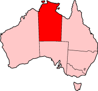
Location of the Northern Territory

Roads of the Northern Territory
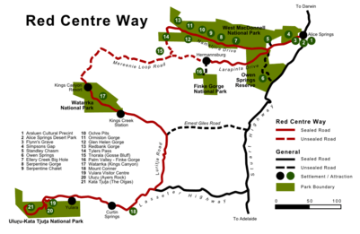
Map of roads in the region south-west of Alice Springs
The Northern Territory is the most sparsely populated state or territory in Australia. Despite its sparse population, it has a network of sealed roads which connect Darwin and Alice Springs, the major population centres, the neighboring states, and some other centres such as Uluru (Ayers Rock), Kakadu and Litchfield National Parks. Some of the sealed roads are single lane bitumen. Many unsealed (dirt) roads connect the remoter settlements.[1] Major roads are classified into three categories: National Highway, Arterial Roads, and Secondary Roads.[2]
National Highways
There are three National Highways in the Northern Territory:[2]

 Stuart Highway (National Highway 1 / National Highway 87)
- Victoria Highway (National Highway 1)
 Barkly Highway (National Highway 66)
Arterial Roads
The following roads are classified as Arterial Roads:[2]
 Arnhem Highway (State Route 36)
 Buntine Highway (National Route 96)
 Carpentaria Highway (National Route 1)
 Central Arnhem Road (State Route 24)
 Kakadu Highway (State Route 21)
 Lasseter Highway (State Route 4)
 Plenty Highway (State Route 12)
 Tablelands Highway (State Route 11)
 Tanami Road (State Route 5)
Secondary Roads
The following roads are classified as Secondary Roads:[2]
- Barkly Stock Route
- Buchanan Highway
- Calvert Road
- Cox Peninsula Road
- Daly River Road
- Darwin River Road
- Dorat Road
- Ernest Giles Road
- Gun Point Road
- Jim Jim Road
- Larapinta Drive
- Litchfield Road
- Luritja Road
- Mt Denison Road
- Nathan River Road
- Ranken Road
- Roper Highway
- Sandover Highway
- Savannah Way
- Tjukaruru Road
See also
- Highways in Australia for highways in other states and territories
- List of highways in Australia for roads named as highways, but not necessarily classified as highways
- List of road routes in the Northern Territory
References
- ↑ Hema, Maps (2007). Australia Road and 4WD Atlas (Map). Eight Mile Plains Queensland: Hema Maps. p. 92. ISBN 978-1-86500-456-3.
- 1 2 3 4 Department of Transport (April 1998). "Map of all NT Roads" (PDF). Northern Territory Government. Archived (PDF) from the original on 5 May 2013. Retrieved 6 July 2014.
This article is issued from Wikipedia - version of the 9/4/2016. The text is available under the Creative Commons Attribution/Share Alike but additional terms may apply for the media files.