List of airports in Barbados
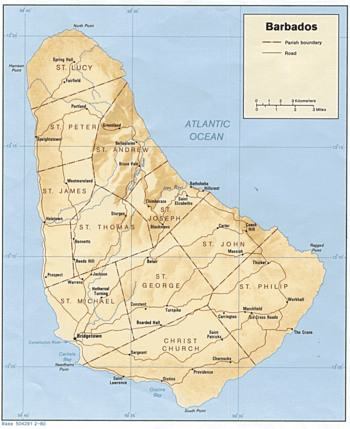
Map of Barbados
This is a list of airports in Barbados.
Barbados, situated just east of the Caribbean Sea, is a West Indian continental island-nation in the western Atlantic Ocean. It is considered a part of the Lesser Antilles. Its closest island neighbours are Martinique, Saint Lucia and Saint Vincent and the Grenadines to the west. To the south lies Trinidad and Tobago with which Barbados now shares a fixed official maritime boundary and also the South American mainland. Bridgetown is the capital and largest city in Barbados.
Barbados has one airport. Grantly Adams International Airport, located on the south coast of the island in Christ Church.
Airports
Airport names shown in bold indicate the airport has scheduled service on commercial airlines.
| Location served | Parish | ICAO | IATA | Airport name | Coordinates | Status |
|---|---|---|---|---|---|---|
| Bridgetown | Christ Church | TBPB | BGI | Grantley Adams International Airport | 13°04′29″N 059°29′33″W / 13.07472°N 59.49250°W | Operational |
| Bridgetown | Saint Michael | TBPO | Bridgetown Heliport | 13°05′45″N 059°37′07″W / 13.09583°N 59.61861°W | Closed |
See also
- Transport in Barbados
- List of airports by ICAO code: T#TB - Barbados
- Wikipedia: WikiProject Aviation/Airline destination lists: North America#Barbados
References
- "ICAO Location Indicators by State" (PDF). International Civil Aviation Organization. 17 September 2010.
- "UN Location Codes: Barbados". UN/LOCODE 2011-2. UNECE. 28 February 2012. – includes IATA codes
- Great Circle Mapper: Airports in Barbados
- World Aero Data: Airports in Barbados
This article is issued from Wikipedia - version of the 10/7/2016. The text is available under the Creative Commons Attribution/Share Alike but additional terms may apply for the media files.