List of North Carolina weather records
The following is a list of North Carolina weather records. North Carolina is located on the Atlantic Coast in the Southern United States. Since it has the Appalachian Mountains on the western part of the state, and the ocean on the east, North Carolina has experienced many different weather conditions.
Temperature
Overall
Precipitation
| Event[1] | Measurement | Date | Location |
|---|
| Most precipitation in a year for a single area | 129.6 inches (329 cm) | 1964 | Rosman |
| Least precipitation in a year for a single area | 22.69 inches (58 cm) | 1930 | Mount Airy |
Rain
Snow
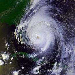
Hurricanes
See also
External links
References
Weather Records in the United States |
|---|
|
- Alabama
- Alaska
- Arizona
- Arkansas
- California
- Colorado
- Connecticut
- Delaware
- Florida
- Georgia
- Hawaii
- Idaho
- Illinois
- Indiana
- Iowa
- Kansas
- Kentucky
- Louisiana
- Maine
- Maryland
- Massachusetts
- Michigan
- Minnesota
- Mississippi
- Missouri
- Montana
- Nebraska
- Nevada
- New Hampshire
- New Jersey
- New Mexico
- New York
- North Carolina
- North Dakota
- Ohio
- Oklahoma
- Oregon
- Pennsylvania
- Rhode Island
- South Carolina
- South Dakota
- Tennessee
- Texas
- Utah
- Vermont
- Virginia
- Washington
- West Virginia
- Wisconsin
- Wyoming
|
|
- District of Columbia
- American Samoa
- Guam
- Puerto Rico
- Virgin Islands
|