Grade I listed buildings in the East Riding of Yorkshire
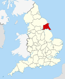
East Riding of Yorkshire shown in England
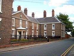
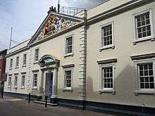
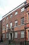
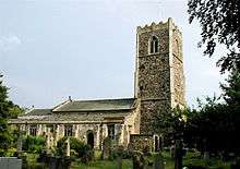
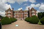
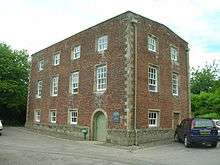
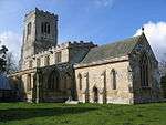
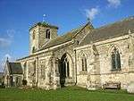
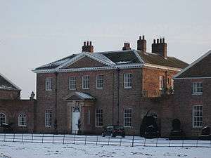
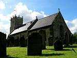
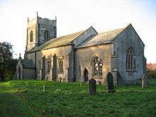
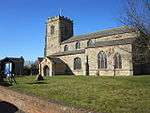
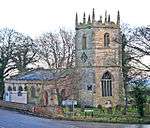
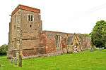
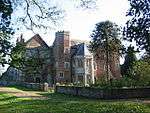
There are over 9,300 Grade I listed buildings in England. This page is a list of the 111 of these buildings in the ceremonial county of the East Riding of Yorkshire. In the United Kingdom, the term listed building refers to a building or other structure officially designated as being of special architectural, historical or cultural significance; Grade I structures are those considered to be "buildings of exceptional interest".[1] In England, the authority for listing under the Planning (Listed Buildings and Conservation Areas) Act 1990[2] rests with Historic England, a non-departmental public body sponsored by the Department for Culture, Media and Sport.
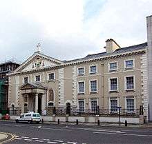
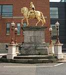
City of Kingston upon Hull

.jpg)
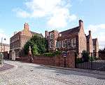
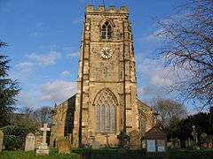
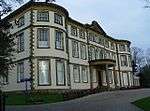
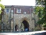
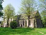
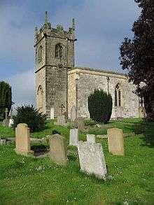
East Riding of Yorkshire


Apr2006.jpg)

.jpg)

See also
- Category:Grade I listed buildings in the East Riding of Yorkshire
- Grade I listed churches in the East Riding of Yorkshire
Notes
- 1 2 The date given is the date used by Historic England as significant for the initial building or that of an important part in the structure's description.
- 1 2 Sometimes known as OSGB36, the grid reference is based on the British national grid reference system used by the Ordnance Survey.
- 1 2 The "List Entry Number" is a unique number assigned to each listed building and scheduled monument by Historic England.
References
| Wikimedia Commons has media related to Grade I listed buildings in the East Riding of Yorkshire. |
- ↑ "What is a listed building?". Manchester City Council. Retrieved 8 December 2007.
- ↑ "Planning (Listed Buildings and Conservation Areas) Act 1990 (c. 9)". Ministry of Justice. Retrieved 17 December 2007.
This article is issued from Wikipedia - version of the 9/14/2016. The text is available under the Creative Commons Attribution/Share Alike but additional terms may apply for the media files.