Lip'ichi
| Lip'ichi | |
|---|---|
 Lip'ichi Location in Bolivia | |
| Highest point | |
| Elevation | 4,180 m (13,710 ft) [1] |
| Coordinates | 17°21′52″S 66°36′05″W / 17.36444°S 66.60139°WCoordinates: 17°21′52″S 66°36′05″W / 17.36444°S 66.60139°W |
| Geography | |
| Location |
Bolivia, Cochabamba Department |
| Parent range | Andes |
Lip'ichi (Aymara for the skin of an animal,[2] also spelled Liphichii) is a mountain in the Bolivian Andes which reaches a height of approximately 4,180 m (13,710 ft). It is located in the Cochabamba Department, Ayopaya Province, Ayopaya Municipality. Lip'ichi lies north of the Wila Quta River, southwest of Wila Quta.[1][3]
References
- 1 2 Bolivia 1:50,000 Cordillera Mazo Cruz 6241-I
- ↑ Radio San Gabriel, "Instituto Radiofonico de Promoción Aymara" (IRPA) 1993, Republicado por Instituto de las Lenguas y Literaturas Andinas-Amazónicas (ILLLA-A) 2011, Transcripción del Vocabulario de la Lengua Aymara, P. Ludovico Bertonio 1612 (Spanish-Aymara-Aymara-Spanish dictionary)
- ↑ "Ayopaya". INE, Bolivia. Retrieved March 27, 2016.
Capital: Cochabamba | ||
| Provinces | 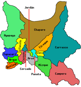 | |
| Municipalities (and seats) |
| |
This article is issued from Wikipedia - version of the 3/27/2016. The text is available under the Creative Commons Attribution/Share Alike but additional terms may apply for the media files.