Leppävesi
| Leppävesi | |
|---|---|
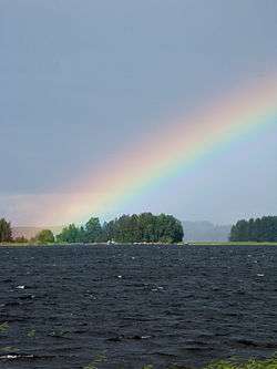 Rainbow on Leppävesi | |
| Coordinates | 62°15′N 25°57′E / 62.250°N 25.950°ECoordinates: 62°15′N 25°57′E / 62.250°N 25.950°E |
| Lake type | lake |
| Primary outflows | Vaajavirta |
| Catchment area | Kymijoki |
| Basin countries | Finland |
| Max. length | 30 km (19 mi) |
| Max. width | 2 km (1.2 mi) |
| Surface area | 63.59 km2 (24.55 sq mi) |
| Average depth | 9.43 m (30.9 ft) |
| Max. depth | 45 m (148 ft) |
| Water volume | 0.6 km3 (490,000 acre·ft) |
| Shore length1 | 226.9 km (141.0 mi) |
| Surface elevation | 80.8 m (265 ft) |
| Frozen | December–April |
| Islands | Kuusisaari, Pyhäsaari, Oravasaari |
| Settlements | Jyväskylä |
| References | [1] |
| 1 Shore length is not a well-defined measure. | |
Leppävesi is the 65th (63.59 km²) largest lake of Finland in municipalities Jyväskylä, Laukaa and Toivakka.[1] It is quite narrow but long lake in direction south-north. It flows to Päijänne via Vaajavirta. It is part of Keitele Canal, waterway connecting Lake Keitele and Päijänne. National road 9 and Pieksämäki–Jyväskylä railway cross the lake.
References
- 1 2 Leppävesi in Järviwiki. Finnish Environment Institute: Lakes in Finland. Retrieved 2014-2-22. (English)
- Leppävesi in Kalapaikka.net (Finnish)
See also
- List of lakes in Finland
-
 Media related to Leppävesi at Wikimedia Commons
This article is issued from Wikipedia - version of the 9/20/2016. The text is available under the Creative Commons Attribution/Share Alike but additional terms may apply for the media files.