Leksa
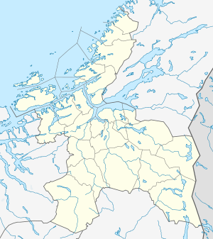 Leksa Location in Sør-Trøndelag (Sør-Leksa in red, Nord-Leksa just to the right of it) | |
| Geography | |
|---|---|
| Location | Sør-Trøndelag, Norway |
| Coordinates | 63°34′35″N 9°19′29″E / 63.5764°N 9.3246°ECoordinates: 63°34′35″N 9°19′29″E / 63.5764°N 9.3246°E |
| Major islands | Nord-Leksa & Sør-Leksa |
| Highest elevation | 102.4 m (336 ft) |
| Highest point | Jøtudalskallen |
| Administration | |
| County | Sør-Trøndelag |
| Municipality | Agdenes |
Leksa refers to the two islands in the Trondheimsleia. They are located in the municipality of Agdenes in Sør-Trøndelag county, Norway. Leksa is made up of the smaller north island, Nord-Leksa, and the larger south island, Sør-Leksa.[1] The two islands have been connected by a small causeway since 1986. There are about 30 inhabitants between the two islands with about four farms still in use.
Leksa has a store and a post office, and is used as a recreational resort. There is a car ferry from Vernes to Nord-Leksa and from Garten to Nord-Leksa. The Sør-Leksa port is for express catamaran boat between Trondheim and Kristiansund. On Sør-Leksa there is a small fishing harbour with a breakwater whose construction work was finished in 1978.[2]
During World War II there were about 300 German soldiers stationed at Leksa, and there were also 60-70 Polish and Russian prisoners of war who were imprisoned here for about 2 years. They built some fortifications here on the west side of the island at Gangstua which were called Leksa Kystbatteri. Ruins of the fortifications are still visible today.[3]
References
- ↑ "Leksa" (in Norwegian). yr.no. Retrieved 2011-01-20.
- ↑ "About Leksa". Retrieved 2011-01-20.
- ↑ "Leksa History: World War II". Retrieved 2011-01-20.