Leirnuten
| Leirnuten | |
|---|---|
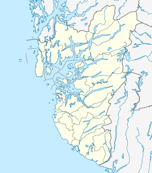 Leirnuten Location in Rogaland | |
| Highest point | |
| Elevation | 1,486 m (4,875 ft) |
| Prominence | 270 m (890 ft) |
| Coordinates | 59°29′44″N 06°55′01″E / 59.49556°N 6.91694°ECoordinates: 59°29′44″N 06°55′01″E / 59.49556°N 6.91694°E |
| Geography | |
| Location | Rogaland, Norway |
Leirnuten is a mountain in the municipality of Suldal in Rogaland county, Norway. The 1,486-metre (4,875 ft) mountain lies just to the southwest of the mountain Steinkilenuten, about 20 kilometres (12 mi) south of the village of Nesflaten.[1]
References
- ↑ Lauritzen, Per Roger, ed. (2009). "Kaldafjellet". Norsk Fjelleksikon (in Norwegian). Arendal: Friluftsforlaget. ISBN 9788291495477.
This article is issued from Wikipedia - version of the 12/6/2015. The text is available under the Creative Commons Attribution/Share Alike but additional terms may apply for the media files.