Leira, Sør-Trøndelag
This article is about the village in Rissa, Norway. For other uses, see Leira.
| Leira | |
|---|---|
| Village | |
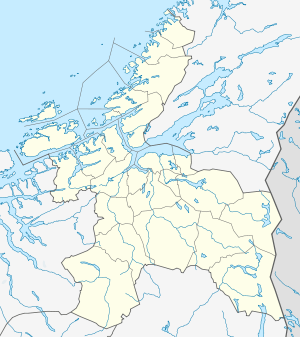 Leira  Leira Location in Sør-Trøndelag | |
| Coordinates: 63°35′56″N 09°59′52″E / 63.59889°N 9.99778°ECoordinates: 63°35′56″N 09°59′52″E / 63.59889°N 9.99778°E | |
| Country | Norway |
| Region | Trøndelag |
| County | Sør-Trøndelag |
| District | Fosen |
| Municipality | Rissa |
| Elevation[1] | 20 m (70 ft) |
| Time zone | CET (UTC+01:00) |
| • Summer (DST) | CEST (UTC+02:00) |
| Post Code | 7100 Rissa |
Leira is a village in the municipality of Rissa in Sør-Trøndelag county, Norway. It is located about 1.5 kilometres (0.93 mi) north of Årnset, along the north shore of Botn. It is about 7 kilometres (4.3 mi) west of the lake Storvatnet. Rissa Church is located on the south side of Leira.
The name
The name is derived from leire 'clay'. Leira is a common name of rivers many places in Norway.
References
This article is issued from Wikipedia - version of the 8/5/2016. The text is available under the Creative Commons Attribution/Share Alike but additional terms may apply for the media files.