Leichhardt Range
| Leichhardt | |
|---|---|
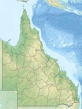 Location of the Leichhardt Range in Queensland | |
| Naming | |
| Etymology | Ludwig Leichhardt[1] |
| Geography | |
| Country | Australia |
| State | Queensland |
| Range coordinates | 20°03′14″S 146°55′36″E / 20.0539°S 146.9267°ECoordinates: 20°03′14″S 146°55′36″E / 20.0539°S 146.9267°E |
| Geology | |
| Age of rock | Ordovician to Late Carboniferous |
| Type of rock | Granite |
The Leichhardt Range, part of the Great Dividing Range, is a mountain range located in North Queensland, Australia.
The range runs parallel with the coast[2] about 170 kilometres (106 mi) west of Mackay[1] and has an average elevation of 355 metres (1,165 ft).[3] It is composed of a series of rugged hills with folded granite and granodiorite. The age of the rocks vary from Ordovician (490 to 434 million years) to Late Carboniferous (325 to 298 million years). These are interspersed with areas of volcanic rhyolite of the Cambrian era (545 to 490 million years) at the southern edge.[4]
The range is named after the explorer Ludwig Leichhardt.[1]
See also
References
- 1 2 3 "Names - Ludwig Leichhardt". German Australia. Retrieved 19 October 2014.
- ↑ Loos, N. A. (1970). "The Land and it's people before European intrusion" (PDF). Retrieved 19 October 2014.
- ↑ "Leichhardt Range". Australian Geographic Locations. Retrieved 19 October 2014.
- ↑ "20°S 147°E Burdekin – Queensland by Degrees". Royal Geographic Society of Queensland. 2009. Retrieved 19 October 2014.
This article is issued from Wikipedia - version of the 11/13/2015. The text is available under the Creative Commons Attribution/Share Alike but additional terms may apply for the media files.