Le Tabor
| Le Tabor | |
|---|---|
_et_Nantes-en-Ratier.jpg) Le Tabor, October 2009 | |
| Highest point | |
| Elevation | 2,389 m (7,838 ft) [1] |
| Prominence | 1,022 m (3,353 ft) [1] |
| Coordinates | 44°59′N 05°51′E / 44.983°N 5.850°ECoordinates: 44°59′N 05°51′E / 44.983°N 5.850°E [1] |
| Geography | |
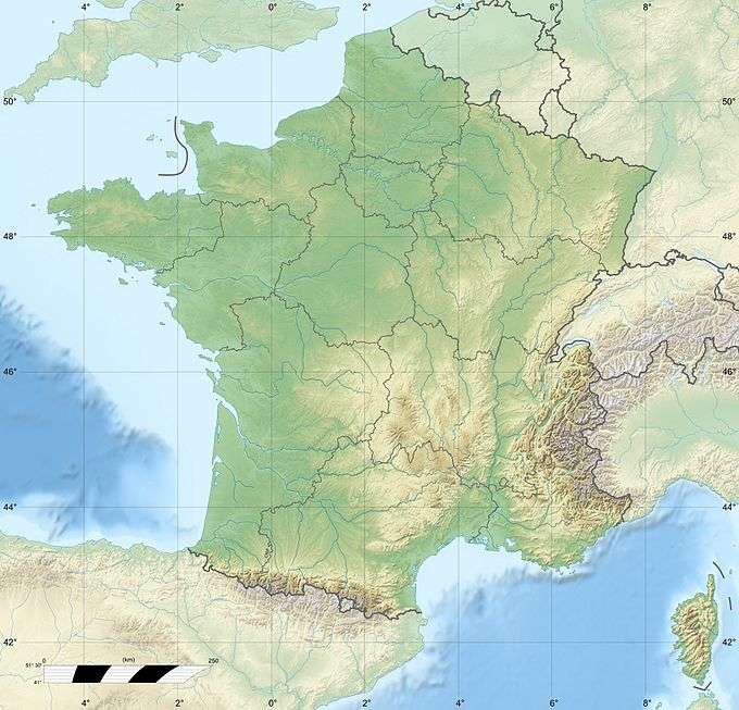 Le Tabor France | |
| Location | Isère, France |
| Parent range | Dauphine Alps |
Le Tabor is a mountain in the Isère department of France.
References
- 1 2 3 "Le Tabor". Peakbagger.com. Retrieved 2009-12-30.
This article is issued from Wikipedia - version of the 12/14/2015. The text is available under the Creative Commons Attribution/Share Alike but additional terms may apply for the media files.