Lassa, Lebanon
| Lassa لاسا | |
|---|---|
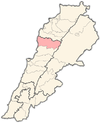
 Lassa Location in Lebanon | |
| Coordinates: 34°4′34″N 35°51′36″E / 34.07611°N 35.86000°ECoordinates: 34°4′34″N 35°51′36″E / 34.07611°N 35.86000°E | |
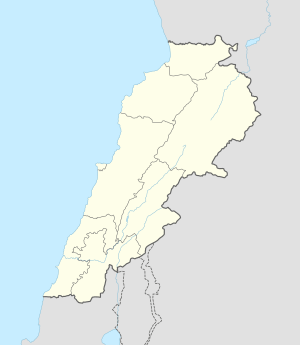
| Country | Lebanon |
| Governorate | Mount Lebanon |
| District | Jbeil |
| Area | |
| • Total | 739 ha (1,826 acres) |
| Elevation | 1,130 m (3,710 ft) |
Lassa (Arabic: لاسا) is a municipality in the Jbeil District of Mount Lebanon Governorate, Lebanon. It is 90 kilometers north of Beirut. Lassa has an average elevation of 1,130 meters above sea level and a total land area of 739 hectares. The village contains one public school, which enrolled 15 students in 2008.[1] Its inhabitants are predominantly Shia Muslims.[2]
References
- ↑ "Lassa". Localiban. Localiban. 2008-01-17. Retrieved 2016-02-12.
- ↑ Cammett, Melani; Issar, Sukriti (July 2010). "Bricks and Mortar Clientalism: Sectarianism and the Logics of Welfare Allocation in Lebanon". National Center for Biotechnology Information, U.S. National Library of Medicine. doi:10.1353/wp.0.0056.
Capital: Jbeil | ||
| Towns and villages |
|  |
| Landmarks |
| |
This article is issued from Wikipedia - version of the 2/12/2016. The text is available under the Creative Commons Attribution/Share Alike but additional terms may apply for the media files.