Langenleuba-Niederhain
| Langenleuba-Niederhain | ||
|---|---|---|
| ||
 Langenleuba-Niederhain | ||
Location of Langenleuba-Niederhain within Altenburger Land district 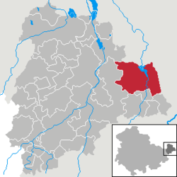 | ||
| Coordinates: 50°57′33″N 12°35′45″E / 50.95917°N 12.59583°ECoordinates: 50°57′33″N 12°35′45″E / 50.95917°N 12.59583°E | ||
| Country | Germany | |
| State | Thuringia | |
| District | Altenburger Land | |
| Municipal assoc. | Wieratal | |
| Government | ||
| • Mayor | Jürgen Schneider (CDU) | |
| Area | ||
| • Total | 39.65 km2 (15.31 sq mi) | |
| Population (2015-12-31)[1] | ||
| • Total | 1,787 | |
| • Density | 45/km2 (120/sq mi) | |
| Time zone | CET/CEST (UTC+1/+2) | |
| Postal codes | 04618 | |
| Dialling codes | 034497 u.a. | |
| Vehicle registration | ABG | |
| Website | www.wieratal.de | |

Langenleuba-Niederhain is a municipality in the district Altenburger Land, in Thuringia, Germany.
History
Within the German Empire (1871–1918), Langenleuba-Niederhain was part of the Duchy of Saxe-Altenburg.
References
This article is issued from Wikipedia - version of the 10/4/2015. The text is available under the Creative Commons Attribution/Share Alike but additional terms may apply for the media files.