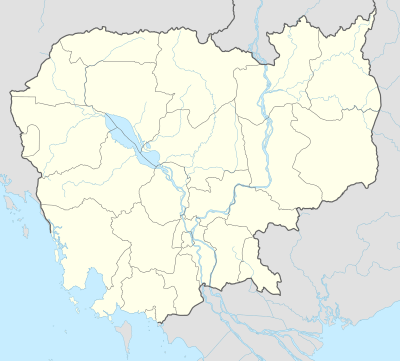
Laming
| Laming ឡាមិញ | |
|---|---|
| Commune | |
 Laming Location within Cambodia | |
| Coordinates: 13°35′N 107°10′E / 13.583°N 107.167°ECoordinates: 13°35′N 107°10′E / 13.583°N 107.167°E[1] | |
| Country |
|
| Province | Ratanakiri Province |
| District | Bar Kaev |
| Villages | 5 |
| Population (1998) | |
| • Total | 2,622 |
| Time zone | UTC+07 |
Laming (also transliterated Laminh) (Khmer: ឡាមិញ) is a commune in Bar Kaev District in northeast Cambodia. It contains five villages and has a population of 2,622.[2]
In the 2007 commune council elections, all five seats went to members of the Cambodian People's Party.[3] Land alienation is a severe problem in Laming.[4] (See Ratanakiri Province for background information on land alienation.)
Villages
| Village[2][5] | Population[2] (1998) | Sex ratio[2] (male/female) (1998) | Number of households[2] (1998) |
|---|---|---|---|
| Trom (ត្រុំ) | 675 | 0.92 | 147 |
| Su (ស៊ូ) | 212 | 0.88 | 49 |
| Nhal (or Nhol) (ញល) | 328 | 0.91 | 67 |
| Khmang (ខ្មាំង) | 285 | 0.85 | 58 |
| Phum Muoy (ភូមិ ១) and/or Phum Pram[6] |
References
- ↑ http://geonames.nga.mil/ggmagaz/geonames4.asp
- 1 2 3 4 5 "Final Population Totals, Rotanak Kiri Province, 1998" (PDF). Cambodia National Institute of Statistics. Retrieved June 6, 2008.
- ↑ "Official Results of the 2007 Commune Councils Election in Ratank Kiri" (PDF). [sic] National Election Committee, No 4.58/07 NEC.SG.PIB. April 18, 2007. Retrieved June 6, 2008.
- ↑ "Land Alienation in Indigenous Minority Communities - Ratanakiri Province, Cambodia" (PDF). NGO Forum on Cambodia. August 2006. Retrieved June 6, 2008.
- ↑ "Commune name: Ratanak Kiri (រតនគីរី)". Cambodia National Institute of Statistics. Retrieved June 6, 2008.
- ↑ The fifth village in Laming is called Phum Muoy here and here, but is called Phum Pram here. The editor of this article does not know if these are two different villages or if they are the same village.
Capital city: Banlung | |||||||||||||||||||||||||||||||||||
| Landmarks | 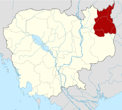 | ||||||||||||||||||||||||||||||||||
| Administrative divisions |
| ||||||||||||||||||||||||||||||||||
This article is issued from Wikipedia - version of the 4/16/2011. The text is available under the Creative Commons Attribution/Share Alike but additional terms may apply for the media files.