La Araucanía International Airport
| La Araucanía International Airport Aeropuerto Internacional La Araucanía | |||||||||||
|---|---|---|---|---|---|---|---|---|---|---|---|
| IATA: ZCO – ICAO: SCQP | |||||||||||
| Summary | |||||||||||
| Airport type | Public | ||||||||||
| Operator | Sociedad Concesionaria Aeropuerto Araucanía S.A. | ||||||||||
| Location | Freire | ||||||||||
| Elevation AMSL | 321 ft / 98 m | ||||||||||
| Coordinates | 38°55′33″S 72°39′05″W / 38.92583°S 72.65139°WCoordinates: 38°55′33″S 72°39′05″W / 38.92583°S 72.65139°W | ||||||||||
| Website | http://www.aeropuertoaraucania.cl/ | ||||||||||
| Map | |||||||||||
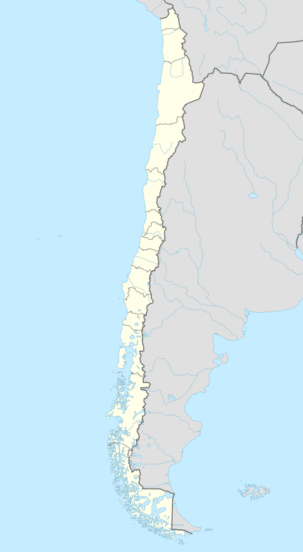 ZCO Location of airport in Chile | |||||||||||
| Runways | |||||||||||
| |||||||||||
| Statistics (2014) | |||||||||||
| |||||||||||
La Araucanía International Airport also known as Temuco Airport (IATA: ZCO, ICAO: SCQP) is the main airport in the region of La Araucania and southern Chile. It is located 20 km south of the city of Temuco, in the commune of Freire, Cautín Province.
It has a platform of aircraft with capacity to accommodate four aircraft (up to Boeing 767 type), a passenger terminal of 5000 m² and 3 boarding bridges.
Commissioning
Through a NOTAM issued on July 18, 2014, the Directorate General of Civil Aviation (DGAC) authorized the start of operations of the new airport on Tuesday July 29, 2014 which was completed with the first landing of a commercial aircraft Sky Airline Airbus A320.
Airlines and destinations
Passenger
| Airlines | Destinations |
|---|---|
| LATAM Chile | Santiago |
| Sky Airline | Santiago |
This article is issued from Wikipedia - version of the 11/27/2016. The text is available under the Creative Commons Attribution/Share Alike but additional terms may apply for the media files.