Kyzylunkyur
| Kyzylunkyur | |
|---|---|
 Kyzylunkyur | |
| Coordinates: 41°21′36″N 73°3′36″E / 41.36000°N 73.06000°ECoordinates: 41°21′36″N 73°3′36″E / 41.36000°N 73.06000°E | |
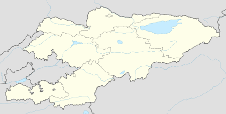
| Country | Kyrgyzstan |
| Region | Jalal-Abad Region |
| Elevation | 1,241 m (4,072 ft) |
| Time zone | UTC +5 |
Kyzylunkyur (Kyzul-Ünkür (google earth has Kyzylungungir)) is a village in Jalal-Abad Region, Kyrgyzstan. A road runs from the village southwest down the Kyzyl-Ünkür valley 45 km (28 mi) or more to Bazar-Korgon on the main M41 highway near the Uzbek border. From the valley, a branch road goes northwest to Arslanbob.
This article is issued from Wikipedia - version of the 1/17/2016. The text is available under the Creative Commons Attribution/Share Alike but additional terms may apply for the media files.