Kyzyl-Suu, Kyrgyzstan
For the river in Kyrgyzstan, see Vakhsh River.
| Kyzyl-Suu Кызылсуу | |
|---|---|
| village | |
 Kyzyl-Suu | |
| Coordinates: KG 42°20′21″N 78°00′24″E / 42.33917°N 78.00667°ECoordinates: KG 42°20′21″N 78°00′24″E / 42.33917°N 78.00667°E | |
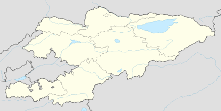
| Country | Kyrgyzstan |
| Province | Issyk Kul Province |
| District | Jeti-Oguz District |
| Elevation | 1,770 m (5,810 ft) |
| Population (2008) | |
| • Total | 15,389 |
Kyzyl-Suu (formerly known as Pokrovka) is a village in the Issyk Kul Province of Kyrgyzstan. About 10km inland from Lake Issyk Kul on the A363 highway between Jeti-Ögüz resort and Barskoon, it is the capital of Jeti-Oguz District. At the head of the Chong Kyzyl-Suu ('little red water') valley, it is a base for trekking into the 14,000 foot mountains to the south. Kyzyl-Suu is named for the "Kyzyl-Suu" river that runs through it. Kyzyl-Suu literally translates to "red water", in reference to the red clay which stains the water during periods of heavy rain.
Sources
- World Gazetteer: Kyrgyzstan – World-Gazetteer.com
This article is issued from Wikipedia - version of the 11/10/2016. The text is available under the Creative Commons Attribution/Share Alike but additional terms may apply for the media files.