Kvål, Sør-Trøndelag
| Kvål | |
|---|---|
| Village | |
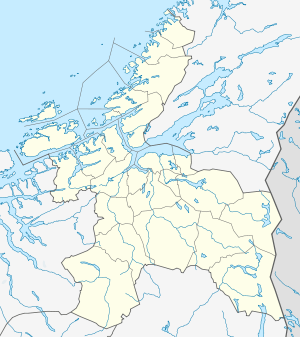 Kvål  Kvål Location in Sør-Trøndelag | |
| Coordinates: 63°13′53″N 10°16′50″E / 63.23139°N 10.28056°ECoordinates: 63°13′53″N 10°16′50″E / 63.23139°N 10.28056°E | |
| Country | Norway |
| Region | Trøndelag |
| County | Sør-Trøndelag |
| Districts of Norway | Gauldalen |
| Municipality | Melhus |
| Area[1] | |
| • Total | 0.43 km2 (0.17 sq mi) |
| Elevation[2] | 50 m (160 ft) |
| Population (2013)[1] | |
| • Total | 477 |
| • Density | 1,109/km2 (2,870/sq mi) |
| Time zone | CET (UTC+01:00) |
| • Summer (DST) | CEST (UTC+02:00) |
| Post Code | 7228 Kvål |
Kvål is a village in the municipality of Melhus in Sør-Trøndelag county, Norway. It is located along the Gaula River between the villages of Ler and Melhus. The 0.43-square-kilometre (110-acre) village has a population (2013) of 477. The population density of Kvål is 1,109 inhabitants per square kilometre (2,870/sq mi).[1]
Kvål Station is located in the village along the Dovrebanen railway line, but only used for local traffic. The European route E6 highway also runs through the village.[3]
References
- 1 2 3 Statistisk sentralbyrå (1 January 2013). "Urban settlements. Population and area, by municipality.".
- ↑ "Kvål" (in Norwegian). yr.no. Retrieved 2011-03-18.
- ↑ Store norske leksikon. "Kvål – tettsted i Melhus kommune" (in Norwegian). Retrieved 2011-03-18.
This article is issued from Wikipedia - version of the 8/5/2016. The text is available under the Creative Commons Attribution/Share Alike but additional terms may apply for the media files.