Kunturi (Tarucani)
This article is about the mountain in the Tarucani District, Arequipa Province, Arequipa Region, Peru. For other uses, see Kunturi.
| Kunturi | |
|---|---|
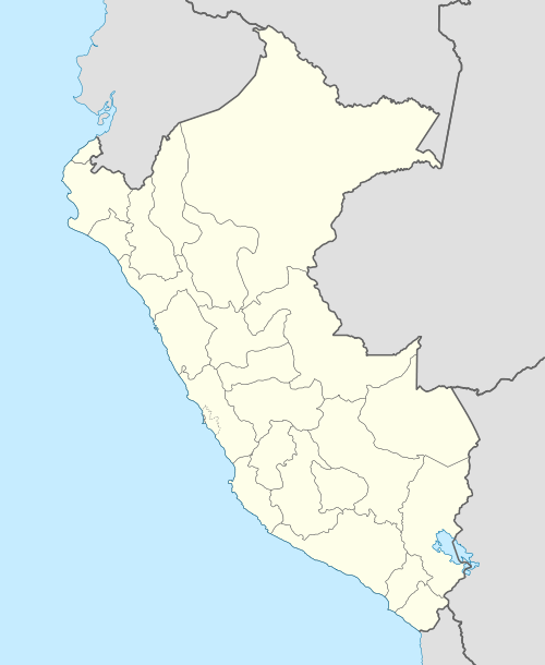
 Kunturi Peru | |
| Highest point | |
| Elevation | 5,200 m (17,100 ft) [1] |
| Coordinates | 16°12′48″S 71°8′50″W / 16.21333°S 71.14722°WCoordinates: 16°12′48″S 71°8′50″W / 16.21333°S 71.14722°W |
| Geography | |
| Location | Peru, Arequipa Region, Arequipa Province |
| Parent range | Andes |
Kunturi (Aymara for condor,[2] hispanicized spelling Condori) is a mountain in the Arequipa Region in the Andes of Peru, about 5,200 metres (17,060 ft) high. It is situated in the Arequipa Province, Tarucani District. Kunturi lies south of the El Fraile dam, between Qiñwani (Quenuani) in the northeast and Pukasaya in the southwest.[1]
References
- 1 2 escale.minedu.gob.pe - UGEL map of Arequipa Sur (Arequipa Region)
- ↑ "Diccionario Bilingüe, Castellano - Aymara, 2002". Félix Layme Pairumani. Retrieved July 11, 2014.
This article is issued from Wikipedia - version of the 3/6/2016. The text is available under the Creative Commons Attribution/Share Alike but additional terms may apply for the media files.