Krimpen aan den IJssel
| Krimpen aan den IJssel | |||
|---|---|---|---|
| Municipality | |||
|
Flood barrier in the Hollandse IJssel | |||
| |||
.svg.png) Location in South Holland | |||
| Coordinates: 51°55′N 4°35′E / 51.917°N 4.583°ECoordinates: 51°55′N 4°35′E / 51.917°N 4.583°E | |||
| Country | Netherlands | ||
| Province | South Holland | ||
| Government[1] | |||
| • Body | Municipal council | ||
| • Mayor | Lennie Huizer (PvdA) | ||
| Area[2] | |||
| • Total | 8.95 km2 (3.46 sq mi) | ||
| • Land | 7.80 km2 (3.01 sq mi) | ||
| • Water | 1.15 km2 (0.44 sq mi) | ||
| Elevation[3] | −1 m (−3 ft) | ||
| Population (May 2014)[4] | |||
| • Total | 28,870 | ||
| • Density | 3,701/km2 (9,590/sq mi) | ||
| Demonym(s) | Krimpenaar | ||
| Time zone | CET (UTC+1) | ||
| • Summer (DST) | CEST (UTC+2) | ||
| Postcode | 2920–2926 | ||
| Area code | 0180 | ||
| Website |
www | ||


Krimpen aan den IJssel (Dutch pronunciation: [ˈkrɪmpə(n) aːn dɛn ˈɛisəl]) is a town and municipality in the western Netherlands, in the province of South Holland. The municipality had a population of 28,870 in 2014, and covers an area of 8.95 km2 (3.46 sq mi) of which 1.15 km2 (0.44 sq mi) is water.
History
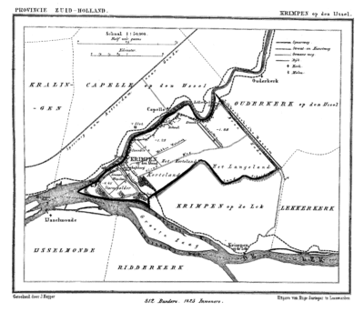
Krimpen is first mentioned in a document from 1277. Like other hamlets, many different spellings of its name have occurred over time, among which the name Tingenijssel deviated the most from today's spelling. The municipality is on the south shore of the river Hollandse IJssel. For many centuries, the only buildings in Krimpen were farm houses built along the river dike. They formed more or less autonomous communities along the dike.
Before the 20th century, the two principal industrial employers were the brick factory Mijnlieff and the shipyard Van der Giessen de Noord.
In the beginning of the 20th century development began inland from the river dikes, and the municipality began to lose its agricultural character.
During the North Sea flood of 1953, the tidal barrier in the river IJssel proved to be inadequate. So in 1954 construction started on a new storm surge barrier, the first installation of the Delta Works. In 1958 it was completed together with the Algera Bridge which connects Krimpen with Capelle aan den IJssel.
In the mid 1960s, Krimpen became a commuter town for people working in Rotterdam, resulting in major expansion. Today most of the municipality has been built up, except for the Krimpenerwaard where the town council aims to retain the rural character.
Public transport
- Waterbus route 1:
- Rotterdam Willemskade - Krimpen aan den IJssel Stormpolder - Ridderkerk De Schans - Alblasserdam Kade - Dordrecht Merwekade.
Topography

Dutch Topographic map of the municipality of Krimpen aan den IJssel, June 2015
Sister cities
References
- ↑ "L.M. HUIZER" (in Dutch). Gemeente Krimpen aan den IJssel. Retrieved 6 August 2013.
- ↑ "Kerncijfers wijken en buurten" [Key figures for neighbourhoods]. CBS Statline (in Dutch). CBS. 2 July 2013. Retrieved 12 March 2014.
- ↑ "Postcodetool for 2922AD". Actueel Hoogtebestand Nederland (in Dutch). Het Waterschapshuis. Retrieved 6 August 2013.
- ↑ "Bevolkingsontwikkeling; regio per maand" [Population growth; regions per month]. CBS Statline (in Dutch). CBS. 26 June 2014. Retrieved 24 July 2014.
- ↑ "Testvértelepülések". Retrieved 30 April 2014.
External links
 |
Capelle aan den IJssel Hollandse IJssel |
Ouderkerk | | |
| Rotterdam / Nieuwe Maas | |
|||
| ||||
| | ||||
| Nederlek |
