Kolyma Hydroelectric Station
| Kolyma Dam | |
|---|---|
 | |
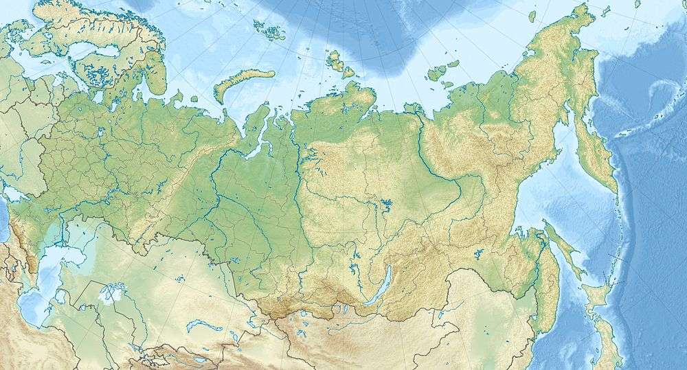 Location of Kolyma Dam in Russia | |
| Official name | Kolyma Hydroelectric Station |
| Country | Russia |
| Location | Sinegorye, Yagodninsky District, Magadan Oblast |
| Coordinates | 62°3′19.68″N 150°24′29.83″E / 62.0554667°N 150.4082861°ECoordinates: 62°3′19.68″N 150°24′29.83″E / 62.0554667°N 150.4082861°E |
| Purpose | Power |
| Status | Operational |
| Construction began | 1974 |
| Opening date | 1982 |
| Owner(s) | RusHydro |
| Dam and spillways | |
| Type of dam | Embankment, rock-fill |
| Impounds | Kolyma River |
| Height | 134.5 m (441 ft) |
| Length | 683 m (2,241 ft) |
| Spillway capacity | 11,300 m3/s (400,000 cu ft/s) |
| Reservoir | |
| Total capacity | 15,080,000,000 m3 (12,230,000 acre·ft) |
| Active capacity | 7,240,000,000 m3 (5,870,000 acre·ft) |
| Surface area | 454.6 km2 (175.5 sq mi) |
| Power station | |
| Operator(s) | RusHydro |
| Commission date | 1982-1994 |
| Type | Conventional |
| Hydraulic head | 115.2 m (378 ft) |
| Turbines |
4 x 180 MW Deriaz-type 1 x 180 MW Francis-type[1] |
| Installed capacity | 900 MW |
Kolyma Hydroelectric Station is located on the Kolyma River in the village of Sinegorye, Yagodninsky District, Magadan Oblast Russia. It has an installed power generation capacity of 900 MW.[2] Kolyma HPP is the basis of the energy system of Magadan Oblast; it produces about 95% of the electricity in the region. It is the upper stage of the Kolyma cascade, while the lower one (Kolyma II) of 570 MW installed capacity is under construction.

Construction began in 1974 and the first generator was commissioned in 1982, the last in 1994. Construction of the Kolyma HPP was carried out in the harsh climatic conditions in the zone of permafrost. At 134.5 m (441 ft), t is the highest earth filled dam in Russia. It is also the most powerful hydroelectric plant in the country with an underground power station.
References
- ↑ "Hydroelectric Plants in Russia - Far Eastern Federal District". IndustCards. Retrieved 1 January 2015.
- ↑ "ОАО "КОЛЫМАЭНЕРГО"". RusHydro.