Kokopo District
| Kokopo District | |
|---|---|
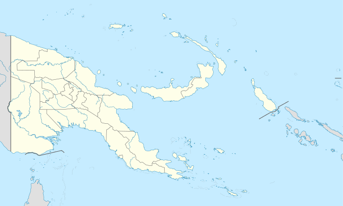 Kokopo District Location within Papua New Guinea | |
| Coordinates: 4°20′30″S 152°15′57″E / 4.3417°S 152.2657°E | |
| Country | Papua New Guinea |
| Province | East New Britain Province |
| Capital | Kokopo |
| Area | |
| • Total | 408 km2 (158 sq mi) |
| Population (2011 census) | |
| • Total | 87,829 |
| • Density | 220/km2 (560/sq mi) |
| Time zone | AEST (UTC+10) |
Kokopo District is a district of East New Britain Province in Papua New Guinea. It is one of the four administrative districts that make up the province.[1]
See also
References
- ↑ "Kokopo District". www.parliament.gov.pg. Archived from the original on March 17, 2014. Retrieved 27 February 2014.
This article is issued from Wikipedia - version of the 9/12/2016. The text is available under the Creative Commons Attribution/Share Alike but additional terms may apply for the media files.