Knockoura
| Knockoura | |
|---|---|
| Cnoc Cumhra | |
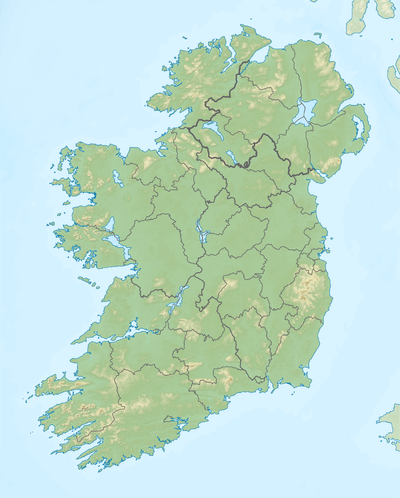 Knockoura Location in Ireland | |
| Highest point | |
| Elevation | 490 m (1,610 ft) [1] |
| Prominence | 395 m (1,296 ft) [1] |
| Listing | Marilyn |
| Coordinates | 51°39′07″N 9°59′35″W / 51.652°N 9.993°WCoordinates: 51°39′07″N 9°59′35″W / 51.652°N 9.993°W |
| Geography | |
| Location | County Cork, Republic of Ireland |
| Parent range | Slieve Miskish Mountains |
| OSI/OSNI grid | V621462 |
Knockoura (Irish: Cnoc Cumhra) is a mountain in County Cork, Ireland.
Geography
At an elevation of 490 metres Knockoura is one of the Irish Hangliding & Paragliding (IHPA)[2] sites as well as being a site for 4 communications masts for telephone, TV, VHF, coastguard and WiMax antennas
References
- 1 2 Knockoura, Listing at mountainviews.ie
- ↑ IHPA website ihpa.ie
See also
Lists of Marilyns | |
|---|---|
This article is issued from Wikipedia - version of the 9/24/2016. The text is available under the Creative Commons Attribution/Share Alike but additional terms may apply for the media files.