Killiniq, Nunavut
| Killiniq Kikkertaujak; Killipaartalik | |
|---|---|
 Killiniq | |
| Coordinates: 60°25′00″N 064°50′00″W / 60.41667°N 64.83333°WCoordinates: 60°25′00″N 064°50′00″W / 60.41667°N 64.83333°W | |
| Country | Canada |
| Territory | Nunavut |
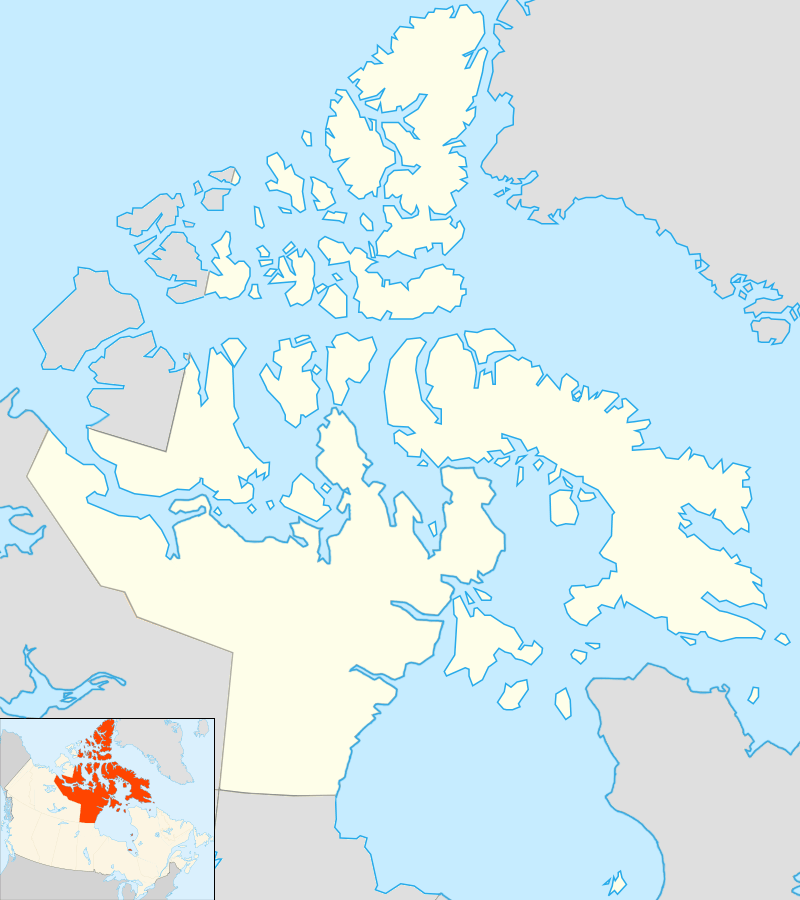
| Region | Qikiqtaaluk Region |
| Population (after 8 February 1978) | |
| • Total | Uninhabited |
Killiniq (meaning: ice floes[1]) (previous spelling: Killinek; local variants: Killipaartalik or Kikkertaujak (peninsula); previously: Bishop Jones' Village; sometimes referred to as: Port Burwell)[2][3] is a former Inuit settlement, weather station, trading post, missionary post, fishing station, and Royal Canadian Mounted Police post on Killiniq Island. Previously within Labrador,[4] and then the Northwest Territories,[5] it is now situated within the borders of Nunavut.[6]
Geography
Killiniq, the settlement, is located on Killiniq Island, situated in Ungava Bay at the extreme northern tip of Labrador. The island contains the only land border between the territory of Nunavut, to the west, and the province of Newfoundland and Labrador, to the east.[7]
The settlement developed around Port Burwell harbour, located at the mouth of Hudson Strait.[6][8] It is surrounded by coastal cliffs of an otherwise barren and rocky island, and a sea, frozen almost year-round.[9]
Though there is an abundance of seal, walrus, and Arctic char that promoted habitation, the settlement area is bereft of trees and wood. Some brushwood is scattered amongst stones. Wildflowers and moss are found nearby, but berries are located miles further afield.[10]
History
The Killiniq locality appears as early as 1569 on a Mercator map. It was visited in 1587 by John Davis, and in 1602 by George Weymouth.
Approximately 6 mi (9.7 km) south of Killiniq, Alpheus Spring Packard, the American entomologist and palaeontologist, discovered the remains of an Inuit settlement.
A Dominion Government Meteorological Station was established at Port Burwell in 1884.[11]
From 1898 through 1904, Job Brothers & Co., Limited, a Newfoundland-based mercantile and trading company operated a fishing station.[12]
The Anglican missionary, Rev. Sam M. Stewart of the Colonial and Continental Church Society arrived in 1899 to establish a mission. Having been appointed by Llewellyn Jones, Bishop of Newfoundland to the post, Stewart called the settlement "Bishop Jones' Village".[3] in 1899.
In 1904, the Moravian missionaries, the Brethren's Society for the Furtherance of the Gospel among the Heathen, bought the Job Brothers station. At the northwest corner of the Fort Burwell harbour,[13] they established their own mission and trading post, including a bakery, smithy, and carpentry shop.[14] Church services included a harmonium.[15] The next year, the Moravians announced in their periodical account that the local name "Kikkertaujak" would be changed to "Killinek".[16] Some of the missionaries included Rev. P. Hettasch, Rev. Walter W. Perrett, and Rev. S. Waldmann. During the period of August–October 1906, Dresden ornithologist Bernhard Hantzsch stayed at the Killiniq mission studying the Inuit culture, and creating bird and mammal inventories of the surrounding lakes and mountains.[17] The Moravians closed their mission in 1924.[18]
In 1916, the Hudson's Bay Company moved their George River trading post to the northeast part of the Fort Burwell harbour.[13] The Moravians sold their post to the HBC in 1923, and the HBC closed the consolidated trading post in 1939.[12]
The Royal Canadian Mounted Police posted a detachment in 1920, and expanded it in 1926. It was moved in 1936 to Port Harrison, Quebec.[18]
In 1942, the Hudson's Bay Company moved a dozen residents from Port Burwell to Southampton Island.[19] Though Killenk lacked a permanent landing strip because of its terrain, the United States Army, Air Force, Navy and Coast Guard wanted to use the location as a stop over while constructing Arctic airfields in Baffin Island, Northern Quebec, and Greenland during the Second World War.[18]
The Kikitayok Co-op was established in 1952 with animal materials, sculptures, biscuits, sardines, and ammunition. It was the second Co-op in the eastern Arctic. In 1964, a classroom was built and there was a full-time teacher in Killinq.[12] The airport code for the landing strip was XBW.
Although the Inuit of Killiniq were recognized as a signatory to the James Bay and Northern Quebec Agreement in November 1975, this did not prevent a gradual deterioration in government services and programs at Killiniq. This decline created an insecure environment and gave rise to a slow outmigration of families in search of settlements with assured access to essential services, especially medical and air transport. Between November 1975 and February 1978, a total of 50 Inuit left Killiniq in search of a more secure environment.
On 8 February 1978, the 47 people that remained were notified by radio that the government of the Northwest Territories was sending planes to move them from the community and that the settlement would be closed. The majority were moved to Kangiqsualujjuaq, Quebec on the southern end of Ungava Bay.[20] All of the former residents were scattered in the host communities of Nunavik, the homeland of the Inuit of Quebec. They arrived without housing, without income, and without many of their personal effects. Family groups were broken up and the Inuit were separated from their seasonal hunting territory. The host communities were neither advised nor prepared for this influx of people and there were no follow up programs or special funds to help with the resettlement.[21]
In subsequent years, there were sporadic visits by Inuit to Killiniq, including a fisheries project from 1983 through 1985 sponsored by the Makivik Corporation.[22] Feasibility studies were conducted in the mid-1980s to relocate the displaced Killiniq Inuit to Taqpangajuk, Quebec on the mainland, 40 km (25 mi) to the south of Killiniq. In the winter of 1987, several displaced Killiniq families established a new community at Taqpangajuk without government assistance.
Killiniq served as a summertime Canadian Coast Guard weather station (VAW)[23] until the early 1990s.
Sixteen years after the 1978 evacuation, an environmental survey was conducted in Killiniq to assess the remaining buildings, facilities and materials. The town was demolished during the 1980s or 1990s. The power lines and poles were cut down and some of the abandoned residences were bulldozed or burned; however, several are still standing today. A broken down bulldozer still exists at the site however the fuel supplies that had been left have been reported to have been depleted by visitors to the site.
Demographics
During 200 years of recorded history between 1773 and 1978, the Inuit population estimates fluctuated from as small as two to three families, to as many as 200 residents.[12][18] In addition to the Inuit, Killiniq's posts, missions, and weather stations were also populated with traders, missionaries, and weather observers.
| Year | Residents | Families | Notes |
|---|---|---|---|
| 1773 | 100 | Estimate by Jens Haven, Moravian missionary and explorer.[24] | |
| 1884–86 | Plus Dominion weather observer Burwell, with two assistants. | ||
| 1898 | 80 | ||
| 1899 | Plus Anglican missionary Rev. Stewart, with Henry Ford, interpreter. | ||
| 1904 | 80 | ||
| 1914–1916 | Plus Moravian missionary Karl Filschke, wife, and three children. | ||
| 1920 | 4–5 | Plus Sergeant Wight and Constable Butler of the RCMP. | |
| 1939–1952 | 5 | ||
| 1955 | 2–3 | ||
| 1960 | 20–30 | ||
| 1964 | 95 | ||
| 1970 | 92 | ||
| 1971 | 150 | ||
| 1975 | 100 | ||
| 1977 | <50 | ||
| February 8, 1978 | 0 | The last 47 residents were evacuated on this day, leaving an abandoned settlement. |
References
- ↑ "killiniq". Asuilaak Living Dictionary. Retrieved 2007-12-22.
- ↑ Müller-Wille, Ludger (1987). Inuttitut Nunait Atingitta Katirsutauningit Nunavimmi (Kupaimmi, Kanatami). Avataq Cultural Institute.
- 1 2 Heathen, Brethren's Society for the Furtherance of the Gospel Among the (1902). Periodical Accounts Relating to the Foreign Missions of the Church of the United Brethren. 5. Brethren's Society for the Furtherance of the Gospel among the Heathen (Jun 18, 2008 ed.). pp. 466–467.
- ↑ Brethren (1905), pp. 478
- ↑ Canada. Parliament. House of Commons. Standing Committee on Indian Affairs and Northern Development, Parliament, House of Commons, Canada (1976-01-01). Minutes of Proceedings and Evidence: Procès-verbaux Et Témoignages (Digitized Sep 15, 2008 ed.). Queen's Printer. p. 1.
- 1 2 Robertson, Gordon (2000). Memoirs of a very civil servant: Mackenzie King to Pierre Trudeau. University of Toronto Press. p. 178. ISBN 0-8020-4445-X.
- ↑ "Order Respecting the Withdrawal from Disposal of Certain Lands in Nunavut (The Nunavik Marine Region, Nunavut)". gazette.gc.ca. April 19, 2006. Retrieved 2009-07-24.
- ↑ Shelagh, Shelagh Grant (2005). Arctic Justice: On Trial For Murder, Pond Inlet, 1923. McGill-Queen's Press. p. 224. ISBN 0-7735-2929-2.
- ↑ Bassler, Gerhard P. (2006). Vikings to U-Boats: the German experience in Newfoundland and Labrador. McGill-Queen's Press. p. 36. ISBN 0-7735-3124-6.
- ↑ Hutton, Samuel King (1912). Among the Eskimos of Labrador: a record of five years' close intercourse with the Eskimo tribes of Labrador (Digitized Oct 4, 2007 ed.). Seeley, Service & Co., Limited. p. 38.
- ↑ de Trémaudan, Auguste Henri (1916). The Hudson Bay Road (1498–1915) (Digitized: Jul 10, 2008 ed.). Dutton. p. 53.
- 1 2 3 4 Barret, M. (September 1994). Killiniq (Port Burwell), an Environmental Survey (PDF). Kuujjuaq, Quebec: Makivik Corporation. pp. 43–45.
- 1 2 Gray, David H. (January 2005). "Grenfell and the Labrador Coast" (PDF). The Northern Mariner. cnrs-scrn.org. XV (1): 16.
- ↑ Bassler, p. 39
- ↑ Bassler, p. 49
- ↑ Heathen, Brethren's Society for the Furtherance of the Gospel Among the (1905). Periodical Accounts Relating to the Foreign Missions of the Church of the United Brethren. 6. Brethren's Society for the Furtherance of the Gospel among the Heathen (Digitized Jun 25, 2008 ed.). p. 54.
- ↑ Bassler, p. 87
- 1 2 3 4 "Port Burwell, Labrador". pinetreeline.org. January 27, 2003. Retrieved 2009-07-19.
- ↑ Damas, David (2004). Arctic Migrants/Arctic Villagers: The Transformation of Inuit Settlement in the Central Arctic. McGill-Queen's Press. p. 36. ISBN 0-7735-2405-3.
- ↑ Mowat, Farley; Margaret Atwood (2003). High latitudes: an Arctic journey (Digitized Sep 25, 2008 ed.). Steerforth Press. p. 84. ISBN 1-58642-061-5.
- ↑ Taqpangajuk Relocation: A Feasibility Study, Phase II (PDF). Final Report, Volume II. Makivik Corporation. 1987. p. 1.
- ↑ Makivik, 1987, p. 8
- ↑ "Marine Radio Communications and Traffic Services History in Canada". CAW Local 2182. Retrieved 2009-07-19.
- ↑ Barret, p. 43