Killead
| Killead | |
| Irish: Cill Éad | |
_Killead_-_geograph.org.uk_-_115746.jpg) St Catherine's Church of Ireland, Killead |
|
 |
|
| Population | 81 (2011 Census) |
|---|---|
| Irish grid reference | J173812 |
| – Belfast | 14 mi (23 km) |
| District | Antrim |
| County | County Antrim |
| Country | Northern Ireland |
| Sovereign state | United Kingdom |
| Post town | CRUMLIN |
| Postcode district | BT29 |
| Dialling code | 028, +44 28 |
| EU Parliament | Northern Ireland |
| UK Parliament | South Antrim |
| NI Assembly | South Antrim |
|
|
Coordinates: 54°39′54″N 6°10′50″W / 54.6651°N 6.1805°W
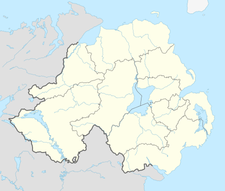
Killead (from Irish: Cill Éad)[1] is a small village and civil parish in County Antrim, Northern Ireland. It is near Aldergrove and Antrim and is accessed from the A26 Tully Road. It had a population of 81 people (32 households) in the 2011 Census.[2] (2001 Census: 78 people)
People
- James Molyneaux, Baron Molyneaux of Killead, was born on August 27, 1920 (died March 9, 2015) in the village. He was a Northern Irish Unionist politician and was leader of the Ulster Unionist Party from 1979 to 1995.
- Reverend Arthur Bell Nicholls, who was the Reverend Patrick Brontë's curate, and husband of Charlotte Brontë, was born in Killead on 6 January 1819.
- James Gordon was born in the parish of Killead on October 31, 1739, attended local schools and emigrated to the United States in 1758, settling in Schenectady, New York. He served in Congress from 1791-1795 and in the State senate from 1797-1804.
- Rev James Alexander Hamilton Irwin (1876-1954) ministered at the Presbyterian Church at Killead from 1903 to 1926. He was a vocal supporter of Home Rule for Ireland and later became a supporter of Irish independence.
- Charles McCorrie VC 1830-1857 Was born in the Parish of Killead and was awarded the Victoria Cross during the Crimean War in 1853 for throwing a live Russian shell over the Parapet. He died in Malta 9 April 1857.
- James Kirker, emigrated to USA where he was a pirate, grocer, and fur-trapper
See also
| Wikimedia Commons has media related to Killead. |
References
- ↑ Placenames Database of Ireland
- ↑ "Killead". Census 2011 Results. NI Statistics and Research Agency. Retrieved 22 April 2015.
This article is issued from Wikipedia - version of the 6/19/2016. The text is available under the Creative Commons Attribution/Share Alike but additional terms may apply for the media files.
