Khumbutse
| Khumbutse | |
|---|---|
 Khumbutse | |
| Highest point | |
| Elevation | 6,636 m (21,772 ft) [1] |
| Prominence | 460 m (1,510 ft) [2] |
| Coordinates | 28°01′13″N 86°52′23″E / 28.02028°N 86.87306°ECoordinates: 28°01′13″N 86°52′23″E / 28.02028°N 86.87306°E |
| Geography | |
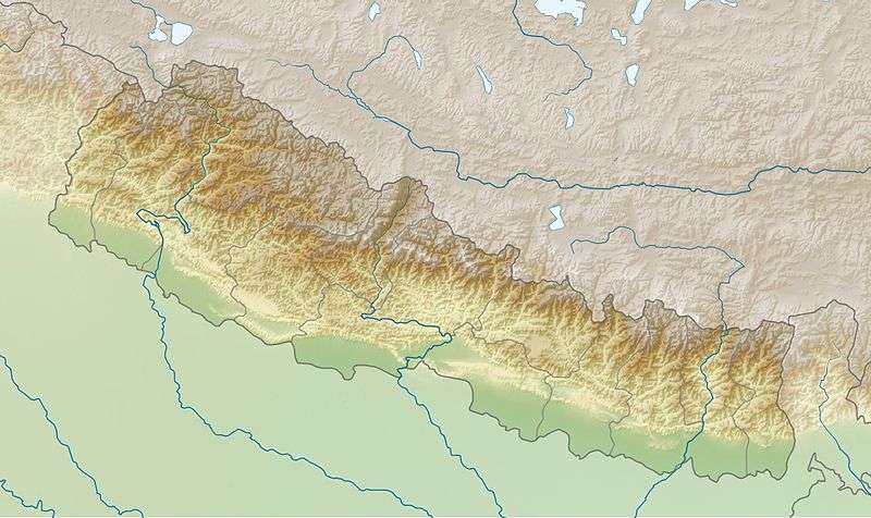 Khumbutse Nepal | |
| Location |
Solukhumbu District, Sagarmatha Zone, Nepal Tingri County, Shigatse Prefecture, Tibet Autonomous Region, China |
| Parent range | Mahalangur Himal, Himalayas |
| Climbing | |
| First ascent | 1979 by Franček Knez |
| Easiest route | glacier/snow/ice |
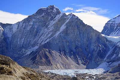
Khumbutse (Chinese: 坤布崎峰; pinyin: Kūnbùzī Fēng) is the first mountain west (6 km) of Mount Everest. It lies at the border between Nepal and China.
Overview

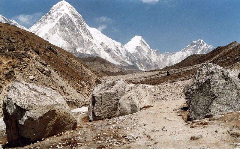
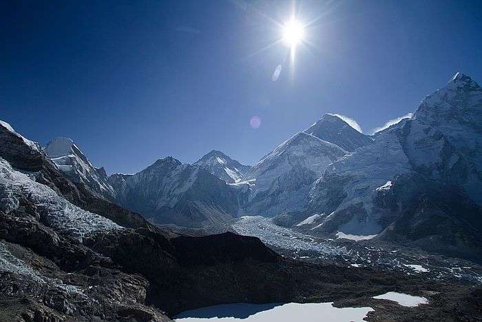
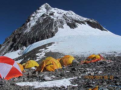
Lingtren, Khumbutse, and Everest West Shoulder overlook base camp and the Khumbu Icefall. Mount Everest South-West face (above the west shoulder) and Nuptse's side to right

See also
References
- ↑ "Khumbutse". Peakware.com. Retrieved 2013-05-05.
- ↑ "Khumbutse, China/Nepal". Peakbagger.com. Retrieved 2013-05-05.
External links
| Wikimedia Commons has media related to Khumbutse. |
This article is issued from Wikipedia - version of the 2/23/2016. The text is available under the Creative Commons Attribution/Share Alike but additional terms may apply for the media files.