Khost wa Fereng District
| Khost wa Fring خوست وفرنگ | |
|---|---|
| District | |
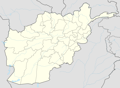 Khost wa Fring Location within Afghanistan[1] | |
| Coordinates: 35°54′00″N 69°40′12″E / 35.90000°N 69.67000°E | |
| Country |
|
| Province | Baghlan Province |
Khost wa Fring district is the easternmost district of Baghlan province, Afghanistan in the Hindu Kush mountains. Its capital is Khost wa Fring. The population of the district was estimated to be around 60300 in 2011-2012,[2] of which ethnic Tajiks made up 90% and Hazaras 10% of the total population.
District profile:[3]
- Health: 1 clinic
- Income: farming (50%), animal husbandry (20%), gardening (20%), shopkeepers (4%)
- Schools: 10 home based, 14 primary, 3 high schools
Khost wa Fring
The correct English spelling is Khost wa Fring, but the is mistakenly written Fereng. Most of the people of Khost wa Fring are Tajiks (90%),and 10% of them are Sunni Hazara. They speak Persian. All people of Khost wa Fring are Sunni Hanafi. Afghan Encyclopedia added: that Mirza Abdul Qadir Bedul is originally belongs to this district, upon certain issues he left to India and becomes the royal poeter of Awrangzib king of subcontenant, due to that two daughter of Awrangzib had married in khost destrict, when he was sending any gift to Khurasan, making particular the khost district due to that reason of his daughters. noted by Sayed Zakaria hashimi. The district was part of Takhar province until 1970, and still its people go to Takhar for shopping more often than Baghlan. This is due to the long distance between Khost was Fereng and the center of Baghlan. The people of Khost wa Fring are Muslims. Most of them are Mujahid, and they belong to Jamiati-Islami party.The people of Khost wa Fring are called kosti or khusti.according to Islamic books the Imam Mehdi(Aj) rises from Taliqan which is near to Khost wa Fring and his flowers are called by the name of Khosti which is the name of their original place. Therefore Islamic forecasts say that people of Khost wa Fring which are called Khosti are the first followers and soldiers of Imam Mehdi(aj). this large district has more than 220000 population and it is bigger than some provinces of Afghanistan.
References
- ↑ "District Names". National Democratic Institute. Retrieved 10 July 2015.
- ↑ http://www.afghaneic.org/Data/CSO%20Population%20Data/Afghanistan%20CSO%20population%20data%201390%20(2011%20-12).pdf
- ↑ "District Profile April 2002" (PDF). UNHCR Sub-Office MAZAR-i-SHARIF. Retrieved 10 July 2015.
External links
- AIMS District map
- District profile by the UNHCR (9 April 2002)