Khandela
| Khandela | |
|---|---|
| city | |
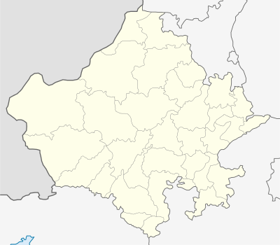
 Khandela  Khandela Location in Rajasthan, India | |
| Coordinates: 27°22′N 75°18′E / 27.36°N 75.30°ECoordinates: 27°22′N 75°18′E / 27.36°N 75.30°E | |
| Country |
|
| State | Rajasthan |
| District | Sikar |
| Elevation | 318 m (1,043 ft) |
| Population (2001) | |
| • Total | 22,475 |
| Languages | |
| • Official | Hindi |
| Time zone | IST (UTC+5:30) |
Khandela is a city and municipality in the Sikar district of the Indian state of Rajasthan.
Geography
Khandela is at 27°22′N 75°18′E / 27.36°N 75.30°E.[1] It has an average elevation of 318 metres (1043 feet).
Demographics
As of 2001 India census,[2] Khandela had a population of 22,475. Males constitute 51% of the population and females 49%.
Khandela has an average literacy rate of 57%, lower than the national average of 59.5%: male literacy is 69%, and female literacy is 45%. In Khandela, 18% of the population is under 6 years of age
Routes to Khandela
Delhi to Khandela : 250 km ( 04hrs 30 min drive ) Excellent road condition. ( Delhi – Shahpura right turn from Shahpura towards Ajeetgarh, Kanwat and then to Khandela. The distance from Shahpura to Khandela is 60 km beautiful countryside.
Khandela to Mandawa : 60 km ( 01 hrs 30 min )
Khandela to Bikaner : 220 km ( 04 hrs)
Khandela to Jaipur : 100 km ( 02 hrs 30 Min )
Khandela to Neemrana : 120 km ( 02 hrs 30 min )
Khandela to Samode : 70 km ( 01 Hour 30 Min )
References
- ↑ Falling Rain Genomics, Inc - bikaner
- ↑ "Census of India 2001: Data from the 2001 Census, including cities, villages and towns (Provisional)". Census Commission of India. Archived from the original on 2004-06-16. Retrieved 2008-11-01.